Export Processing Zone · Nigeria

Maigatari Border Free Trade Zone Inactive
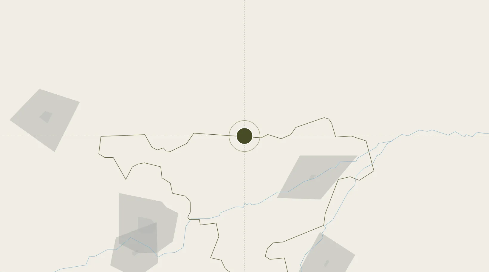
12.8174°, 9.4375°
214 ha
Zone area
872.4 km
Nearest port
117.7 km
Nearest airport

Gateway access

Nearest neighbours — logibook spatial index (haversine) over the source coordinates

Zone profile

Zone type
Export Processing Zone
Open Zone Map
Region
Jigawa
Open Zone Map
Status
Inactive
Open Zone Map
Management
Public
Open Zone Map
Operator
Nigerian Export Processing Zones Authority
Open Zone Map
Legal framework
Section 10 (4) of the Nigeria Export Processing Zones Act No 63 of 1992
Open Zone Map

Location

Location of ozm-2957
Natural Earth 10m (public domain) · Jigawa · ozm-2957 · 12.82, 9.44GoogleOSMYandex

Nearby Logistics Neighbours

Ports
  1. 1Sapele872 km
  2. 2Koko874 km
  3. 3Calabar882 km
  4. 4Warri908 km
  5. 5Port Harcourt934 km
Nearest neighbours — logibook spatial index (haversine) over the source coordinates
Airports
  1. 1Zinder Airport118 km
  2. 2Mallam Aminu Kano International Airport131 km
  3. 3Umaru Musa Yar'adua Airport194 km
  4. 4Maradi Airport262 km
  5. 5Sir Abubakar Tafawa Balewa Bauchi State International Airport262 km
Nearest neighbours — logibook spatial index (haversine) over the source coordinates
Cities
  1. 1Kano135 km
  2. 2Katsina202 km
  3. 3Zamfarawa205 km
  4. 4Gombe339 km
  5. 5Anta389 km
Nearest neighbours — logibook spatial index (haversine) over the source coordinates
Trade Zones
  1. 1Kano Free Trade Zone128 km
  2. 2Maradi Free Zone260 km
  3. 3Abuja Tech. Village Free Zone466 km
  4. 4Abuja Technology Village Free Zone482 km
  5. 5Centenary City491 km
Nearest neighbours — logibook spatial index (haversine) over the source coordinates
DatabookThe Record of Consolidated Knowledge
Nigeria beyond logistics?
Browse databook

All Sources

Trade ZonesOpen Zone Map
CC BY
Portsthe NGA World Port Index
Public domain (US gov)
AirportsOurAirports
Public domain
LocationsUN/LOCODE
UN/LOCODE — free
← Nigeria trade zones