Medium airport · Nigeria
Zaria AirportDNZA
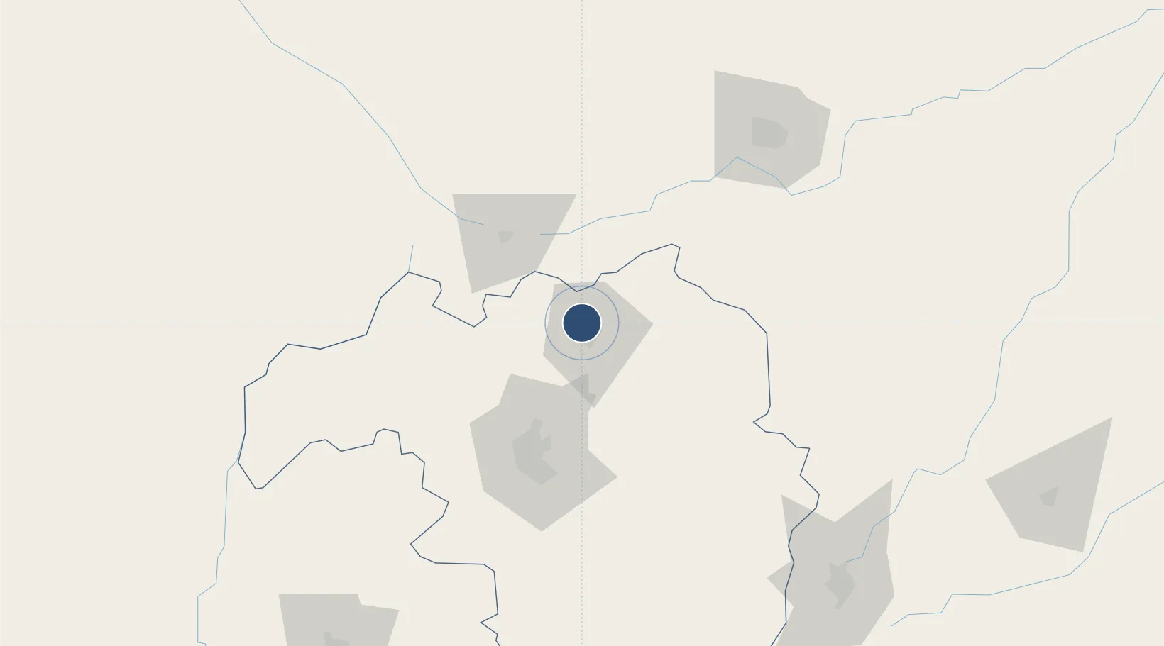
11.1302°, 7.6858°
5,462 ft
Longest runway
1
Runways
2,170 ft
Elevation
Runway & Layout

Radio Frequencies
TWR
123.3 MHz
Runways · 1
| Runway | Dimensions | Surface | True heading | Lit |
|---|---|---|---|---|
| 05/23 | 5,462 × 151ft | Asphalt | 050° | — |
Airport Specifications
IATA code
ZAR
ICAO code
DNZA
Airport class
Medium airport
Scheduled service
No
Runway surface
Asphalt
Served city
Zaria
Location
Nearby Logistics Neighbours
Airports
- 1Kaduna International Airport63 km
- 2Mallam Aminu Kano International Airport137 km
- 3Gusau Airport158 km
- 4Umaru Musa Yar'adua Airport209 km
- 5Yakubu Gowon Airport210 km
Ports
- 1Koko620 km
- 2Sapele622 km
- 3Warri660 km
- 4Ukpokiti Marine Terminal677 km
- 5Burutu686 km
Trade Zones
- 1Kano Free Trade Zone140 km
- 2Abuja Tech. Village Free Zone229 km
- 3Abuja Technology Village Free Zone241 km
- 4Centenary City247 km
- 5Maradi Free Zone266 km
DatabookThe Record of Consolidated Knowledge
Nigeria beyond logistics?