Medium airport · Niger
Zinder AirportDRZR
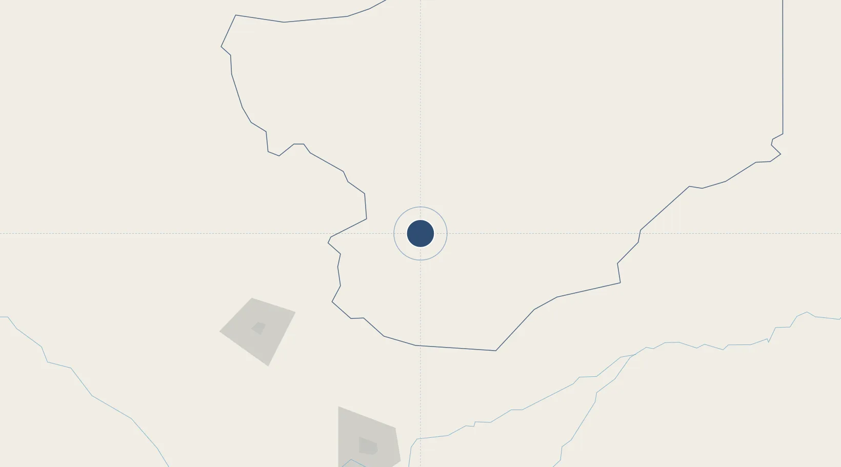
13.7790°, 8.9838°
5,988 ft
Longest runway
1
Runways
1,516 ft
Elevation
Runway & Layout

Radio Frequencies
TWR
118.3 MHz
Navaids
IN NDB Zinder 264 kHz
ZR VOR Zinder 116.20 MHz
Runways · 1
| Runway | Dimensions | Surface | True heading | Lit |
|---|---|---|---|---|
| 05/23 | 5,988 × 98ft | Asphalt | 053° | ✓ |
Airport Specifications
IATA code
ZND
ICAO code
DRZR
Airport class
Medium airport
Scheduled service
Yes
Runway surface
Asphalt
Served city
Zinder
Location
Nearby Logistics Neighbours
Airports
- 1Umaru Musa Yar'adua Airport167 km
- 2Mallam Aminu Kano International Airport199 km
- 3Maradi Airport203 km
- 4Gusau Airport306 km
- 5Zaria Airport327 km
Ports
- 1Koko947 km
- 2Sapele948 km
- 3Calabar983 km
- 4Warri985 km
- 5Ukpokiti Marine Terminal1003 km
Trade Zones
- 1Maigatari Border Free Trade Zone118 km
- 2Kano Free Trade Zone196 km
- 3Maradi Free Zone204 km
- 4Abuja Tech. Village Free Zone547 km
- 5Abuja Technology Village Free Zone561 km
DatabookThe Record of Consolidated Knowledge
Niger beyond logistics?