Free Trade Zone · Nigeria

Abuja Technology Village Free Zone Active
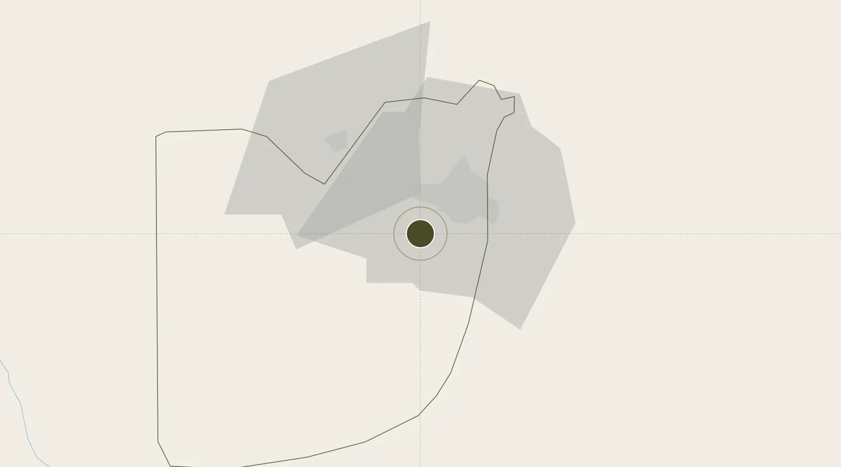
8.9776°, 7.3972°
250 ha
Zone area
390.9 km
Nearest port
15.1 km
Nearest airport

Gateway access

Nearest neighbours — logibook spatial index (haversine) over the source coordinates

Zone profile

Zone type
Free Trade Zone
Open Zone Map
Region
Federal Capital Territory
Open Zone Map
Status
Active
Open Zone Map
Management
Private
Open Zone Map
Operator
Abuja Technology Village Free Zone Company
Open Zone Map
Legal framework
Abuja Technology Village Free Zone Regulations, 2012
Open Zone Map

Location

Location of ozm-2974
Natural Earth 10m (public domain) · Federal Capital Territory · ozm-2974 · 8.98, 7.40GoogleOSMYandex

Nearby Logistics Neighbours

Ports
  1. 1Sapele391 km
  2. 2Koko394 km
  3. 3Warri426 km
  4. 4Burutu454 km
  5. 5Calabar457 km
Nearest neighbours — logibook spatial index (haversine) over the source coordinates
Airports
  1. 1Nnamdi Azikiwe International Airport15 km
  2. 2Minna Airport127 km
  3. 3Yakubu Gowon Airport178 km
  4. 4Kaduna International Airport191 km
  5. 5Makurdi Airport195 km
Nearest neighbours — logibook spatial index (haversine) over the source coordinates
Cities
  1. 1Wuse13 km
  2. 2Maitama17 km
  3. 3Anta129 km
  4. 4Anambra190 km
  5. 5Ogudu238 km
Nearest neighbours — logibook spatial index (haversine) over the source coordinates
Trade Zones
  1. 1Centenary City14 km
  2. 2Abuja Tech. Village Free Zone16 km
  3. 3Enpower Enugu Free Zone280 km
  4. 4Ebonyi Export Processing Zone309 km
  5. 5Living Spring Free Trade Zone339 km
Nearest neighbours — logibook spatial index (haversine) over the source coordinates
DatabookThe Record of Consolidated Knowledge
Nigeria beyond logistics?
Browse databook

All Sources

Trade ZonesOpen Zone Map
CC BY
Portsthe NGA World Port Index
Public domain (US gov)
AirportsOurAirports
Public domain
LocationsUN/LOCODE
UN/LOCODE — free
← Nigeria trade zones