Transport Functions
Multimodal
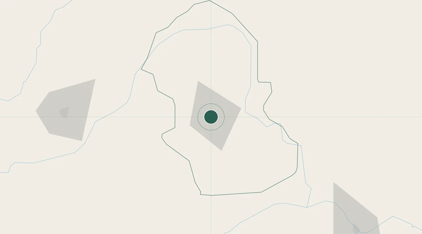
Hub Profile
Place type
Regional capital
Region
Gombe State
Population
560,000
Time zone
Africa/Lagos
Elevation
460 m
Location
Nearby Logistics Neighbours
Ports
- 1Calabar669 km
- 2Douala712 km
- 3Kole Oil Terminal730 km
- 4Antan Oil Terminal743 km
- 5Moudi Marine Terminal747 km
Airports
Trade Zones
DatabookThe Record of Consolidated Knowledge
Nigeria beyond logistics?