Transport Functions
Airport
Multimodal
Postal
Hub Profile
Place type
Regional capital
Region
Kano State
Population
4,910,000
Time zone
Africa/Lagos
Elevation
484 m
Logistics facilities
1
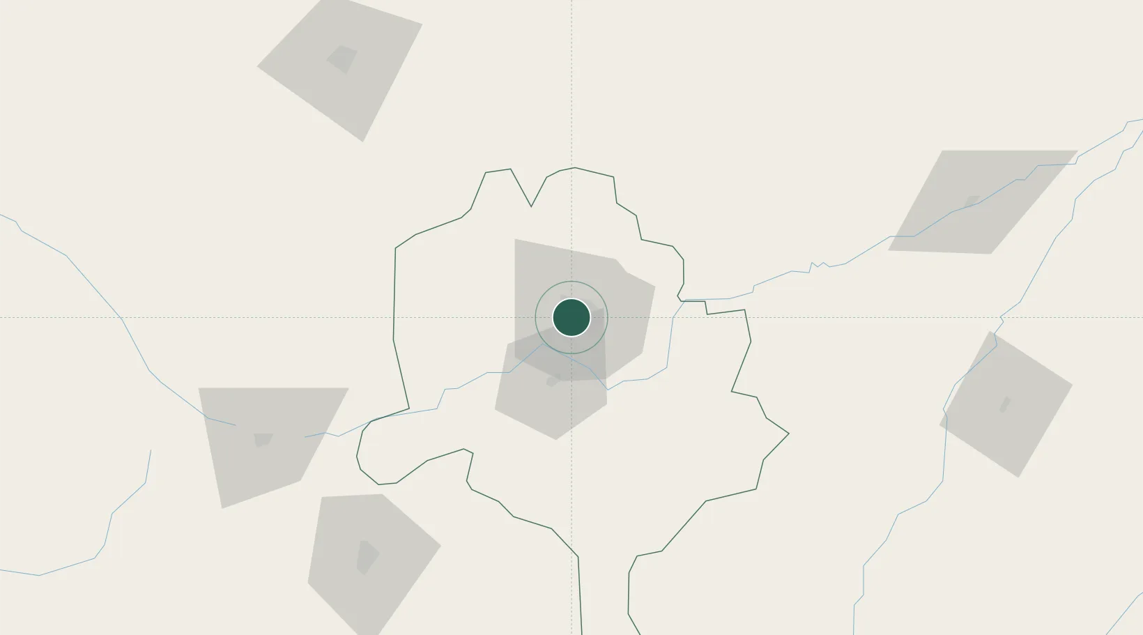
Location
Nearby Logistics Neighbours
Ports
- 1Sapele746 km
- 2Koko747 km
- 3Calabar782 km
- 4Warri783 km
- 5Ukpokiti Marine Terminal806 km
Airports
- 1Mallam Aminu Kano International Airport5 km
- 2Zaria Airport133 km
- 3Umaru Musa Yar'adua Airport146 km
- 4Kaduna International Airport195 km
- 5Gusau Airport199 km
Trade Zones
- 1Kano Free Trade Zone8 km
- 2Maigatari Border Free Trade Zone135 km
- 3Maradi Free Zone222 km
- 4Abuja Tech. Village Free Zone343 km
- 5Abuja Technology Village Free Zone358 km
DatabookThe Record of Consolidated Knowledge
Nigeria beyond logistics?