Export Processing Zone · Nigeria

Centenary City Under Development
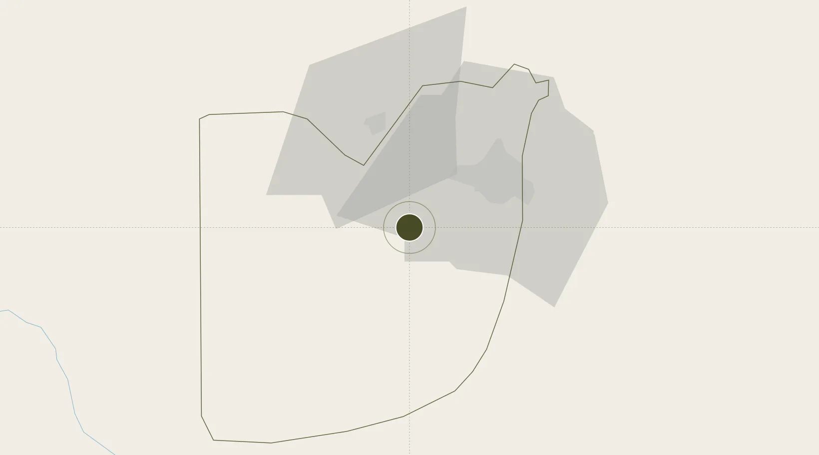
8.9430°, 7.2785°
1,260 ha
Zone area
381.3 km
Nearest port
7.3 km
Nearest airport

Gateway access

Nearest neighbours — logibook spatial index (haversine) over the source coordinates

Zone profile

Zone type
Export Processing Zone
the World Bank SEZ database
Region
Federal Capital Territory
the World Bank SEZ database
Status
Under Development
the World Bank SEZ database
Established
2016
the World Bank SEZ database
Management
Private management
the World Bank SEZ database
Operator
Eagles Hill
the World Bank SEZ database
Regulatory authority
Nigeria Export Processing Zone Authority (NEPZA)
the World Bank SEZ database
Legal framework
Nigeria Export Processing Zones Decree No 63
the World Bank SEZ database

Location

Location of NGA32
Natural Earth 10m (public domain) · Federal Capital Territory · NGA32 · 8.94, 7.28GoogleOSMYandex

Fiscal & incentives

Corporate tax
30%
the World Bank SEZ database
Tax relief
100% exempt
the World Bank SEZ database
Relief duration
Perpetual
the World Bank SEZ database
VAT
100% exempt from consumption tax on utilities
the World Bank SEZ database
Import duty (inputs)
100% exempt
the World Bank SEZ database
Import duty (capex)
100% exempt
the World Bank SEZ database
Profit repatriation
100% exempt from repatriation tax on capital, profits, and dividends
the World Bank SEZ database
Capital gains
100% exempt from any government tax
the World Bank SEZ database
Withholding tax
100% exempt from any government tax
the World Bank SEZ database
Min. investment
None
the World Bank SEZ database
Min. export
0%
the World Bank SEZ database
Employment incentive
100% exempt from any government tax
the World Bank SEZ database
Developer incentive
Yes
the World Bank SEZ database

Nearby Logistics Neighbours

Ports
  1. 1Sapele381 km
  2. 2Koko383 km
  3. 3Warri417 km
  4. 4Burutu445 km
  5. 5Ukpokiti Marine Terminal447 km
Nearest neighbours — logibook spatial index (haversine) over the source coordinates
Airports
  1. 1Nnamdi Azikiwe International Airport7 km
  2. 2Minna Airport119 km
  3. 3Yakubu Gowon Airport191 km
  4. 4Kaduna International Airport195 km
  5. 5Makurdi Airport201 km
Nearest neighbours — logibook spatial index (haversine) over the source coordinates
Cities
  1. 1Wuse25 km
  2. 2Maitama29 km
  3. 3Anta142 km
  4. 4Anambra187 km
  5. 5Ogudu225 km
Nearest neighbours — logibook spatial index (haversine) over the source coordinates
Trade Zones
  1. 1Abuja Technology Village Free Zone14 km
  2. 2Abuja Tech. Village Free Zone28 km
  3. 3Enpower Enugu Free Zone278 km
  4. 4Ebonyi Export Processing Zone309 km
  5. 5Living Spring Free Trade Zone326 km
Nearest neighbours — logibook spatial index (haversine) over the source coordinates
DatabookThe Record of Consolidated Knowledge
Nigeria beyond logistics?
Browse databook

All Sources

Trade Zonesthe World Bank SEZ database
CC BY 4.0
Portsthe NGA World Port Index
Public domain (US gov)
AirportsOurAirports
Public domain
LocationsUN/LOCODE
UN/LOCODE — free
← Nigeria trade zones