Export Processing Zone · Nigeria

Abuja Tech. Village Free Zone
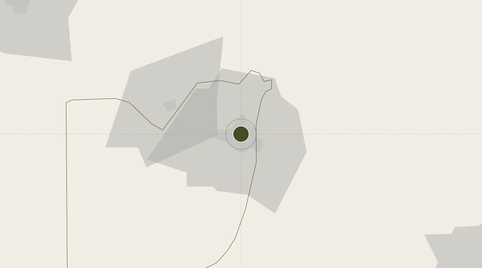
9.0807°, 7.4960°
702 ha
Zone area
406.2 km
Nearest port
26.9 km
Nearest airport

Gateway access

Nearest neighbours — logibook spatial index (haversine) over the source coordinates

Zone profile

Zone type
Export Processing Zone
the World Bank SEZ database
Region
Federal Capital Territory
the World Bank SEZ database
Established
2012
the World Bank SEZ database
Management
PPP
the World Bank SEZ database
Operator
EPZA and private sector partners
the World Bank SEZ database
Regulatory authority
Nigeria Export Processing Zone Authority (NEPZA)
the World Bank SEZ database
Legal framework
Nigeria Export Processing Zones Decree No 63
the World Bank SEZ database

Location

Location of NGA13
Natural Earth 10m (public domain) · Federal Capital Territory · NGA13 · 9.08, 7.50GoogleOSMYandex

Fiscal & incentives

Corporate tax
30%
the World Bank SEZ database
Tax relief
100% exempt
the World Bank SEZ database
Relief duration
Perpetual
the World Bank SEZ database
VAT
100% exempt from consumption tax on utilities
the World Bank SEZ database
Import duty (inputs)
100% exempt
the World Bank SEZ database
Import duty (capex)
100% exempt
the World Bank SEZ database
Profit repatriation
100% exempt from repatriation tax on capital, profits, and dividends
the World Bank SEZ database
Capital gains
100% exempt from any government tax
the World Bank SEZ database
Withholding tax
100% exempt from any government tax
the World Bank SEZ database
Min. investment
None
the World Bank SEZ database
Min. export
0%
the World Bank SEZ database
Employment incentive
100% exempt from any government tax
the World Bank SEZ database
Developer incentive
Yes
the World Bank SEZ database

Nearby Logistics Neighbours

Ports
  1. 1Sapele406 km
  2. 2Koko409 km
  3. 3Warri441 km
  4. 4Calabar466 km
  5. 5Burutu470 km
Nearest neighbours — logibook spatial index (haversine) over the source coordinates
Airports
  1. 1Nnamdi Azikiwe International Airport27 km
  2. 2Minna Airport130 km
  3. 3Yakubu Gowon Airport163 km
  4. 4Kaduna International Airport181 km
  5. 5Makurdi Airport196 km
Nearest neighbours — logibook spatial index (haversine) over the source coordinates
Cities
  1. 1Maitama3 km
  2. 2Wuse4 km
  3. 3Anta114 km
  4. 4Anambra202 km
  5. 5Ogudu249 km
Nearest neighbours — logibook spatial index (haversine) over the source coordinates
Trade Zones
  1. 1Abuja Technology Village Free Zone16 km
  2. 2Centenary City28 km
  3. 3Enpower Enugu Free Zone291 km
  4. 4Ebonyi Export Processing Zone318 km
  5. 5Kano Free Trade Zone351 km
Nearest neighbours — logibook spatial index (haversine) over the source coordinates
DatabookThe Record of Consolidated Knowledge
Nigeria beyond logistics?
Browse databook

All Sources

Trade Zonesthe World Bank SEZ database
CC BY 4.0
Portsthe NGA World Port Index
Public domain (US gov)
AirportsOurAirports
Public domain
LocationsUN/LOCODE
UN/LOCODE — free
← Nigeria trade zones