Free Trade Zone · Nicaragua

Astro Nicaragua, SA Active
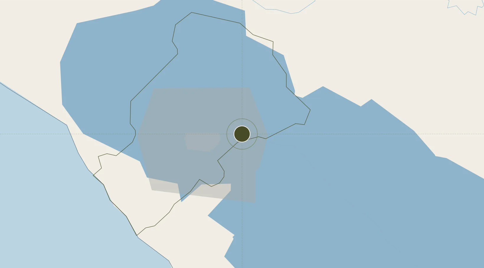
12.1625°, -86.0929°
55 ha
Zone area
73.3 km
Nearest port
8.5 km
Nearest airport

Gateway access

Nearest neighbours — logibook spatial index (haversine) over the source coordinates

Zone profile

Zone type
Free Trade Zone
Open Zone Map
Region
Managua
Open Zone Map
Status
Active
Open Zone Map
Management
Private
Open Zone Map
Operator
ASTRO CARTON
Open Zone Map
Legal framework
The Free Trade Zone Law – Law 917
Open Zone Map

Location

Location of ozm-2937
Natural Earth 10m (public domain) · Managua · ozm-2937 · 12.16, -86.09GoogleOSMYandex

Nearby Logistics Neighbours

Ports
  1. 1Puerto Sandino73 km
  2. 2Corinto122 km
  3. 3Puerto De Hencan202 km
  4. 4La Union229 km
  5. 5Bluefields255 km
Nearest neighbours — logibook spatial index (haversine) over the source coordinates
Airports
  1. 1Augusto C. Sandino (Managua) International Airport9 km
  2. 2Omtepe Airport83 km
  3. 3Upala Airport184 km
  4. 4Daniel Oduber Quirós International Airport184 km
  5. 5Los Chiles Airport196 km
Nearest neighbours — logibook spatial index (haversine) over the source coordinates
Cities
  1. 1Tipitapa4 km
  2. 2San Benito (Tipitapa)17 km
  3. 3Los Brasiles21 km
  4. 4Malacatoya28 km
  5. 5Las Maderas31 km
Nearest neighbours — logibook spatial index (haversine) over the source coordinates
Trade Zones
  1. 1Zona Franca Industrial Tipitapa, SA3 km
  2. 2Zonas Industriales Privadas Argeñal, SA6 km
  3. 3Parque Industrial Las Mercedes7 km
  4. 4Operadora Internacional de Zona Franca Managua, SA12 km
  5. 5Parque Industrial El Transito12 km
Nearest neighbours — logibook spatial index (haversine) over the source coordinates
DatabookThe Record of Consolidated Knowledge
Nicaragua beyond logistics?
Browse databook

All Sources

Trade ZonesOpen Zone Map
CC BY
Portsthe NGA World Port Index
Public domain (US gov)
AirportsOurAirports
Public domain
LocationsUN/LOCODE
UN/LOCODE — free
← Nicaragua trade zones