Free Trade Zone · Nicaragua

Operadora Internacional de Zona Franca Managua, SA Active
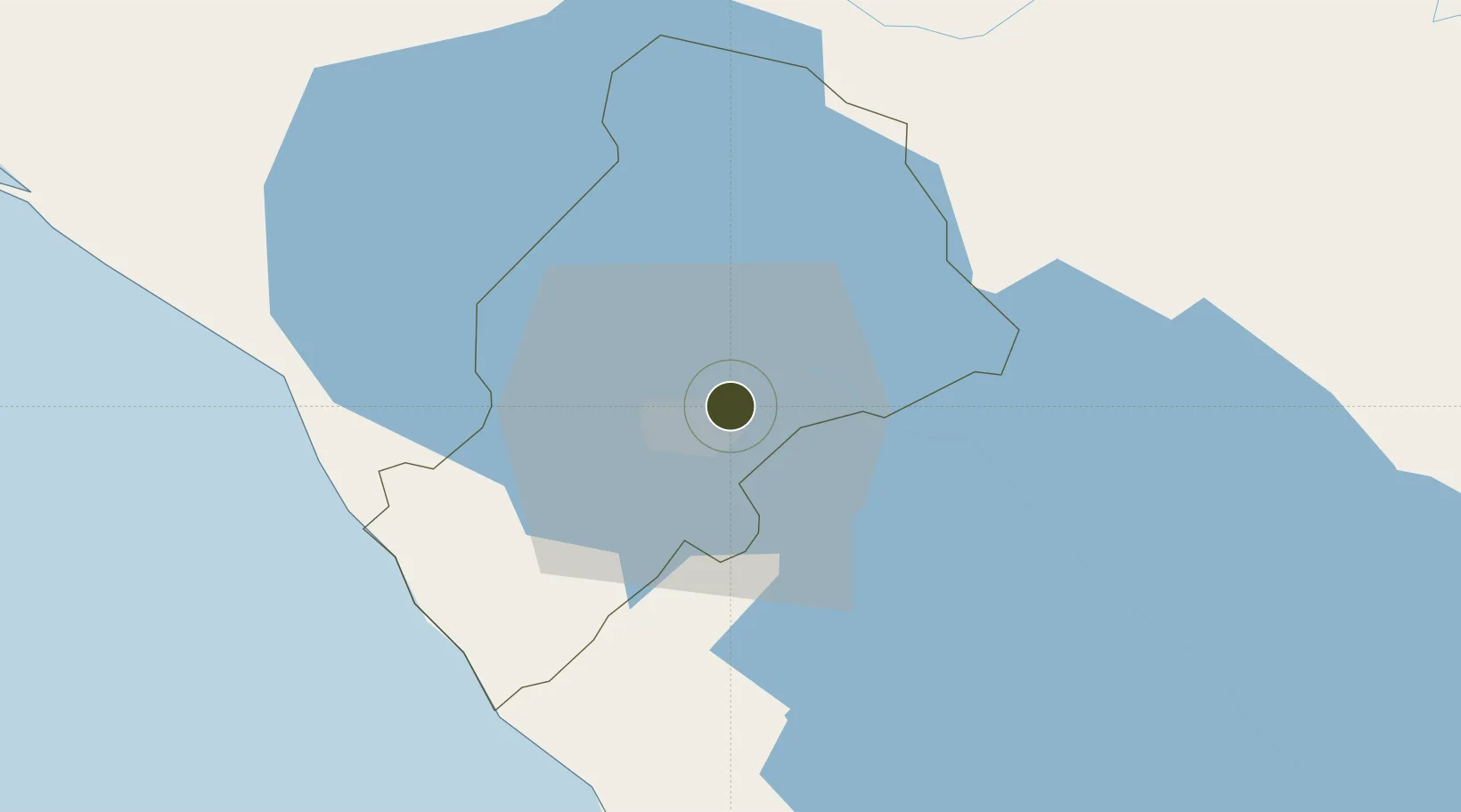
12.1587°, -86.1989°
9 ha
Zone area
61.8 km
Nearest port
3.8 km
Nearest airport

Gateway access

Nearest neighbours — logibook spatial index (haversine) over the source coordinates

Zone profile

Zone type
Free Trade Zone
Open Zone Map
Region
Managua
Open Zone Map
Status
Active
Open Zone Map
Management
Private
Open Zone Map
Operator
Roo Hsing Garment
Open Zone Map
Legal framework
The Free Trade Zone Law – Law 917
Open Zone Map

Location

Location of ozm-2930
Natural Earth 10m (public domain) · Managua · ozm-2930 · 12.16, -86.20GoogleOSMYandex

Nearby Logistics Neighbours

Ports
  1. 1Puerto Sandino62 km
  2. 2Corinto111 km
  3. 3Puerto De Hencan194 km
  4. 4La Union220 km
  5. 5Bluefields267 km
Nearest neighbours — logibook spatial index (haversine) over the source coordinates
Airports
  1. 1Augusto C. Sandino (Managua) International Airport4 km
  2. 2Omtepe Airport89 km
  3. 3Daniel Oduber Quirós International Airport188 km
  4. 4Upala Airport191 km
  5. 5Los Chiles Airport205 km
Nearest neighbours — logibook spatial index (haversine) over the source coordinates
Cities
  1. 1Tipitapa12 km
  2. 2San Benito (Tipitapa)23 km
  3. 3Los Brasiles31 km
  4. 4Jinotepe34 km
  5. 5Diriamba35 km
Nearest neighbours — logibook spatial index (haversine) over the source coordinates
Trade Zones
  1. 1Parque Industrial El Transito1 km
  2. 2El Tránsito, SA2 km
  3. 3Franca Portezuelo, SA3 km
  4. 4Parque Industrial Portezuelo3 km
  5. 5Parque Industrial Las Mercedes5 km
Nearest neighbours — logibook spatial index (haversine) over the source coordinates
DatabookThe Record of Consolidated Knowledge
Nicaragua beyond logistics?
Browse databook

All Sources

Trade ZonesOpen Zone Map
CC BY
Portsthe NGA World Port Index
Public domain (US gov)
AirportsOurAirports
Public domain
LocationsUN/LOCODE
UN/LOCODE — free
← Nicaragua trade zones