Diversified Zone · Fiji
Savusavu Industrial Zone Under Development
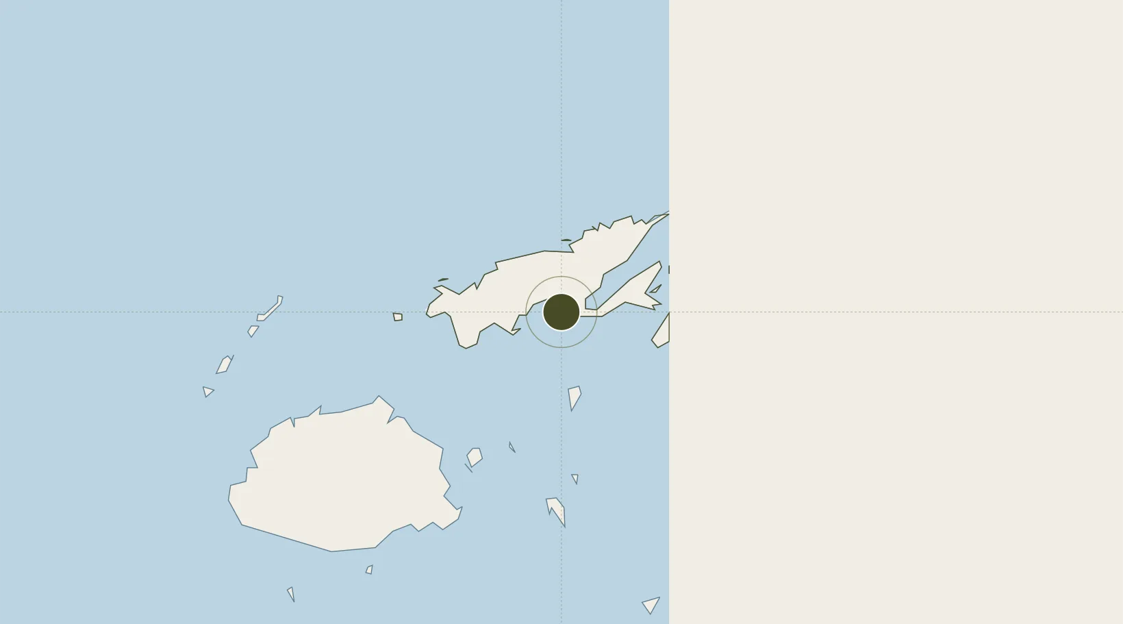
-16.7796°, 179.3286°
6 ha
Zone area
1.5 km
Nearest port
2.9 km
Nearest airport
Gateway access
Zone profile
Zone type
Diversified Zone
Region
Northern
Status
Under Development
Management
Public
Operator
Ministry of Public Enterprises
Legal framework
Legal Notice No. 56 on Tax Free Region Incentives
Location
Nearby Logistics Neighbours
Ports
- 1Savusavu Bay2 km
- 2Suva Harbor179 km
- 3Lautoka Harbor219 km
- 4Funafuti Atoll919 km
- 5Port Vila1174 km
Airports
- 1Savusavu Airport3 km
- 2Labasa Airport35 km
- 3Koro Island Airport64 km
- 4Levuka Airfield120 km
- 5Ngau Airport149 km
Cities
- 1Labasa41 km
- 2Malau (Labasa)46 km
- 3Nambouwalu71 km
- 4Wairiki72 km
- 5Ellington Wharf134 km
Trade Zones
- 1Vanua Levu Tax-Free Region39 km
- 2Nausori-Ba Tax-Free Region163 km
- 3Kalabu Tax Free Zone171 km
- 4Rotuma-Kadavu Tax-Free Region180 km
- 5Lautoka Special Zone222 km
DatabookThe Record of Consolidated Knowledge
Fiji beyond logistics?