Economic Revitalization Project · Spain

Autonomous City of Ceuta Active
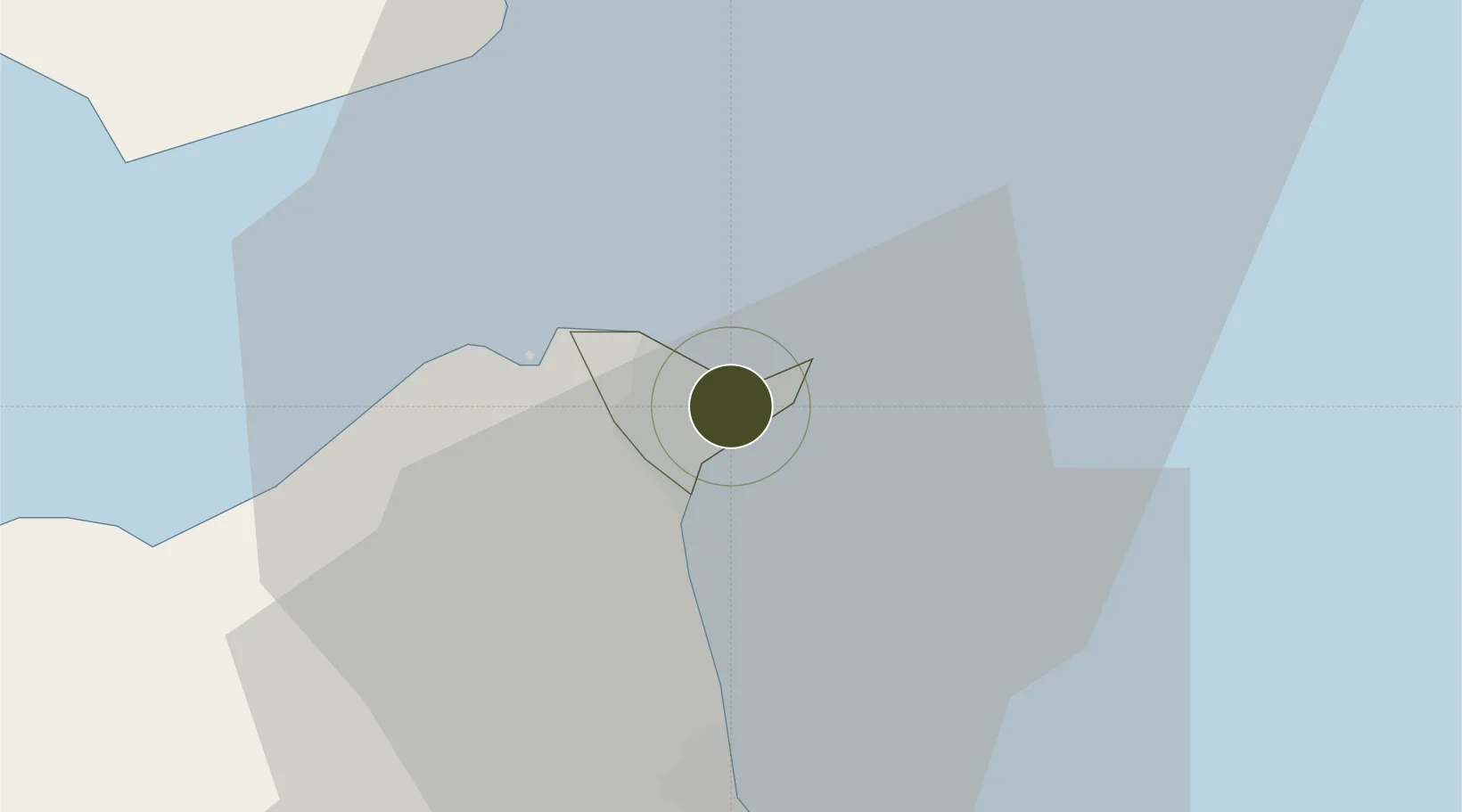
35.8893°, -5.3220°
1,850 ha
Zone area
1.3 km
Nearest port
1.5 km
Nearest airport

Gateway access

Nearest neighbours — logibook spatial index (haversine) over the source coordinates

Zone profile

Zone type
Economic Revitalization Project
Open Zone Map
Region
Ceuta
Open Zone Map
Status
Active
Open Zone Map
Management
Public
Open Zone Map
Operator
Governement of the Autonomous City of Ceuta
Open Zone Map
Legal framework
Law 22/2009, of December 18 ("BOE" no. 305 of 12/19/2009), Council Regulation (EC) No. 82/2001 of 5 December 2000 (OJ L 20, 20.01.2001)
Open Zone Map

Location

Location of ozm-4314
Natural Earth 10m (public domain) · Ceuta · ozm-4314 · 35.89, -5.32GoogleOSMYandex

Nearby Logistics Neighbours

Ports
  1. 1Ceuta1 km
  2. 2Tangier-Mediterranean18 km
  3. 3Algeciras29 km
  4. 4Tanger46 km
  5. 5Cadiz113 km
Nearest neighbours — logibook spatial index (haversine) over the source coordinates
Airports
  1. 1Ceuta Heliport2 km
  2. 2Algeciras Heliport29 km
  3. 3Gibraltar Airport29 km
  4. 4Sania Ramel Airport33 km
  5. 5Tangier Ibn Battuta Airport57 km
Nearest neighbours — logibook spatial index (haversine) over the source coordinates
Cities
  1. 1Ceuta1 km
  2. 2Tanger Med20 km
  3. 3Waterport27 km
  4. 4Algeciras31 km
  5. 5Tétouan36 km
Nearest neighbours — logibook spatial index (haversine) over the source coordinates
Trade Zones
  1. 1Tanger Med Ksar el Majaz Mellousa Freeport22 km
  2. 2Tetouan Shore Industrial Park27 km
  3. 3Depósito Franco de Algeciras28 km
  4. 4Tanger Automotive City39 km
  5. 5Tanger Free Export Zone57 km
Nearest neighbours — logibook spatial index (haversine) over the source coordinates
DatabookThe Record of Consolidated Knowledge
Spain beyond logistics?
Browse databook

All Sources

Trade ZonesOpen Zone Map
CC BY
Portsthe NGA World Port Index
Public domain (US gov)
AirportsOurAirports
Public domain
LocationsUN/LOCODE
UN/LOCODE — free
← Spain trade zones