Specialized Zone · Morocco
Technopolis Active
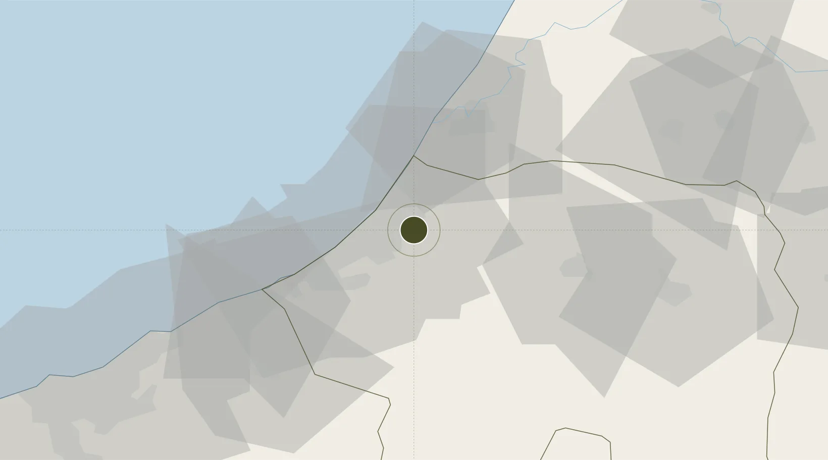
33.9889°, -6.7222°
300 ha
Zone area
36.4 km
Nearest port
7.5 km
Nearest airport
Gateway access
Zone profile
Zone type
Specialized Zone
Specialization
IT
Region
Rabat - Salé - Zemmour - Zaer
Status
Active
Management
Private
Operator
Technopolis S.A. Commercial
Legal framework
Dahir No. 1-95-1 dated January 26, 1995
Location
Nearby Logistics Neighbours
Ports
- 1Kenitra36 km
- 2Mohammedia70 km
- 3Casablanca93 km
- 4El Jadida184 km
- 5El Jorf Lasfar201 km
Airports
- 1Rabat-Salé Airport8 km
- 2Kenitra Air Base36 km
- 3Mohammed V International Airport106 km
- 4Bassatine Airport112 km
- 5Fes Saïss International Airport161 km
Cities
- 1Salé9 km
- 2Skhirat33 km
- 3Ar Rommani54 km
- 4Allal Tazi68 km
- 5Aïn Harrouda78 km
Trade Zones
- 1Zona Franca Kenitra Atlantic47 km
- 2Kénitra Atlantic Free Zone48 km
- 3Casablanca MIDPARC Free Zone104 km
- 4Meknès Agropolis117 km
- 5Settat Industrial Park - SETTAPARK140 km
DatabookThe Record of Consolidated Knowledge
Morocco beyond logistics?