Transport Functions
Port
Multimodal
Hub Profile
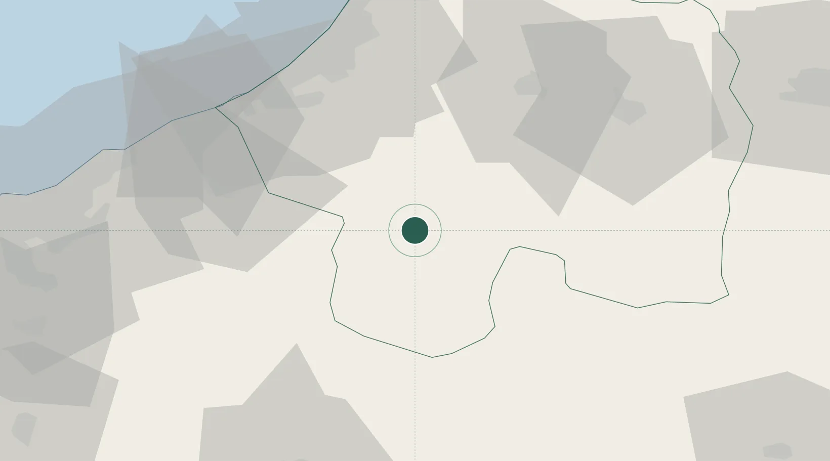
Place type
Populated place
Region
Rabat-Salé-Kénitra
Population
13,428
Time zone
Africa/Casablanca
Elevation
313 m
Location
Nearby Logistics Neighbours
Cities
- 1Skhirat55 km
- 2Salé60 km
- 3Aïn Harrouda78 km
- 4Mediouna85 km
- 5Aïn Sebaa87 km
Ports
- 1Mohammedia77 km
- 2Kenitra87 km
- 3Casablanca95 km
- 4El Jadida179 km
- 5El Jorf Lasfar193 km
Airports
- 1Rabat-Salé Airport61 km
- 2Kenitra Air Base87 km
- 3Mohammed V International Airport93 km
- 4Bassatine Airport108 km
- 5Beni Mellal Airport127 km
Trade Zones
- 1Technopolis54 km
- 2Kénitra Atlantic Free Zone90 km
- 3Zona Franca Kenitra Atlantic90 km
- 4Casablanca MIDPARC Free Zone91 km
- 5Meknès Agropolis111 km
DatabookThe Record of Consolidated Knowledge
Morocco beyond logistics?