Medium airport · Morocco
Kenitra Air BaseGMMY
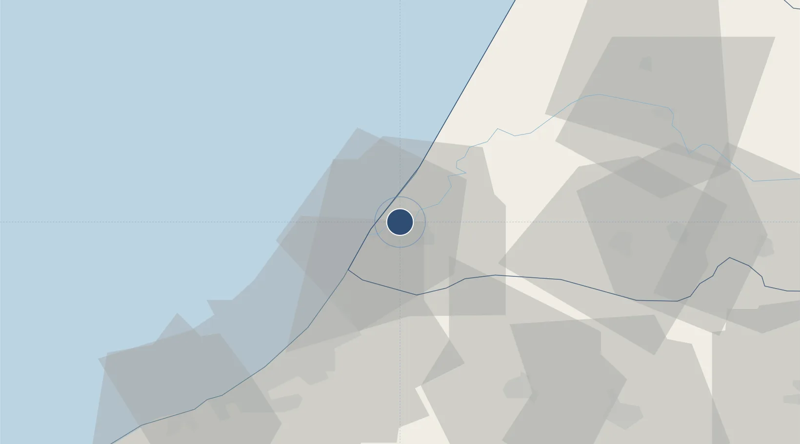
34.2989°, -6.5959°
7,995 ft
Longest runway
2
Runways
16 ft
Elevation
Runway & Layout

Radio Frequencies
ARTC
124.5 MHz
CASABLANCA ACC
Runways · 2
| Runway | Dimensions | Surface | True heading | Lit |
|---|---|---|---|---|
| 07/25 | 7,995 × 150ft | Concrete | 063° | ✓ |
| 03/21 | 6,035 × 150ft | Asphalt | 019° | — |
Airport Specifications
IATA code
NNA
ICAO code
GMMP
Airport class
Medium airport
Scheduled service
No
Runway surface
Concrete
Served city
Kenitra
Location
Nearby Logistics Neighbours
Airports
- 1Rabat-Salé Airport31 km
- 2Bassatine Airport110 km
- 3Mohammed V International Airport138 km
- 4Fes Saïss International Airport155 km
- 5Tangier Ibn Battuta Airport171 km
Cities
- 1Allal Tazi34 km
- 2Salé35 km
- 3Skhirat64 km
- 4Souq Larb'A Al Gharb71 km
- 5Ar Rommani87 km
Ports
- 1Kenitra0 km
- 2Mohammedia98 km
- 3Casablanca122 km
- 4Tanger180 km
- 5Tangier-Mediterranean203 km
Trade Zones
- 1Zona Franca Kenitra Atlantic20 km
- 2Kénitra Atlantic Free Zone20 km
- 3Technopolis36 km
- 4Meknès Agropolis116 km
- 5Casablanca MIDPARC Free Zone137 km
DatabookThe Record of Consolidated Knowledge
Morocco beyond logistics?