Free Trade Zone · Spain
Zona Franca Kenitra Atlantic Under Development
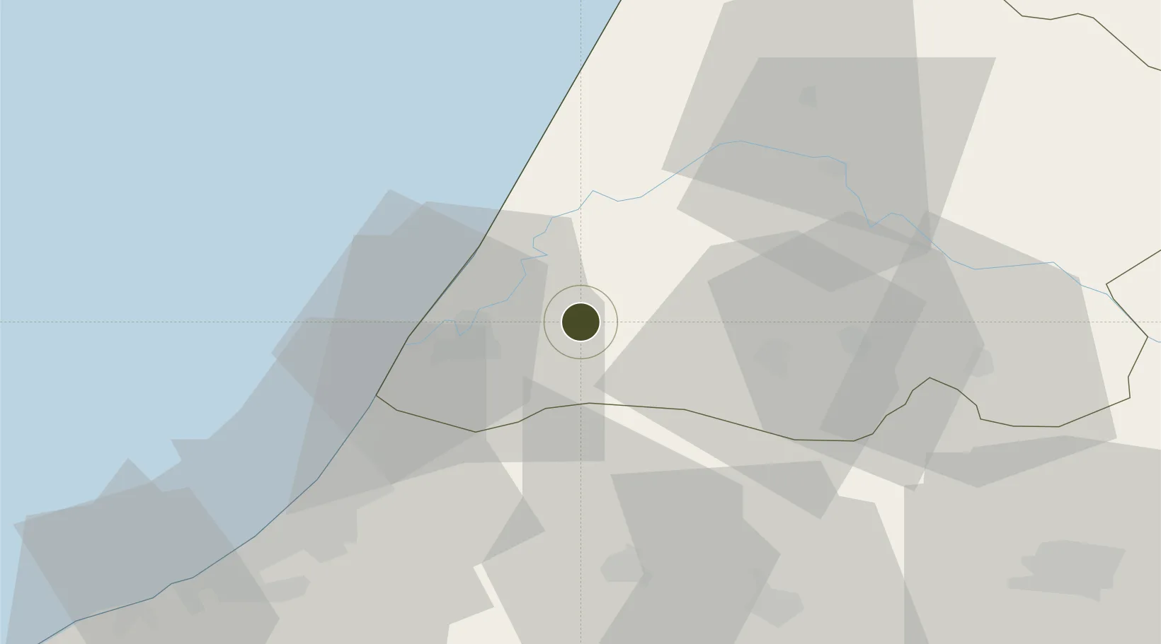
34.3059°, -6.3775°
345 ha
Zone area
20.4 km
Nearest port
20.1 km
Nearest airport
Gateway access
Zone profile
Zone type
Free Trade Zone
Region
Gharb - Chrarda - Béni Hssen
Status
Under Development
Management
Public-Private Partnership
Operator
SGD Development
Legal framework
Real Decreto-Ley N. 1491
Location
Nearby Logistics Neighbours
Ports
- 1Kenitra20 km
- 2Mohammedia115 km
- 3Casablanca139 km
- 4Tanger172 km
- 5Tangier-Mediterranean194 km
Airports
- 1Kenitra Air Base20 km
- 2Rabat-Salé Airport45 km
- 3Bassatine Airport93 km
- 4Fes Saïss International Airport136 km
- 5Mohammed V International Airport153 km
Cities
- 1Allal Tazi22 km
- 2Salé49 km
- 3Souq Larb'A Al Gharb55 km
- 4Skhirat79 km
- 5Ar Rommani90 km
Trade Zones
- 1Kénitra Atlantic Free Zone0 km
- 2Technopolis47 km
- 3Meknès Agropolis99 km
- 4Fès Shore Industrial Park135 km
- 5Casablanca MIDPARC Free Zone151 km
DatabookThe Record of Consolidated Knowledge
Spain beyond logistics?