Export Processing Zone · Morocco
Kénitra Atlantic Free Zone Active
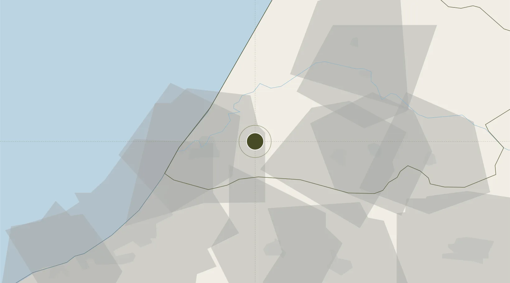
34.3053°, -6.3757°
345 ha
Zone area
20.6 km
Nearest port
20.2 km
Nearest airport
Gateway access
Zone profile
Zone type
Export Processing Zone
Region
Gharb - Chrarda - Béni Hssen
Status
Active
Management
Private
Operator
Edonia World, Société Atlantic Free Zone Investment
Legal framework
Law No. 19-94 on Free Zones
Location
Nearby Logistics Neighbours
Ports
- 1Kenitra21 km
- 2Mohammedia115 km
- 3Casablanca139 km
- 4Tanger172 km
- 5Tangier-Mediterranean194 km
Airports
- 1Kenitra Air Base20 km
- 2Rabat-Salé Airport45 km
- 3Bassatine Airport92 km
- 4Fes Saïss International Airport135 km
- 5Mohammed V International Airport153 km
Cities
- 1Allal Tazi22 km
- 2Salé49 km
- 3Souq Larb'A Al Gharb55 km
- 4Skhirat79 km
- 5Ar Rommani90 km
Trade Zones
- 1Zona Franca Kenitra Atlantic0 km
- 2Technopolis48 km
- 3Meknès Agropolis99 km
- 4Fès Shore Industrial Park135 km
- 5Casablanca MIDPARC Free Zone151 km
DatabookThe Record of Consolidated Knowledge
Morocco beyond logistics?