Economic Revitalization Project · Malaysia

Malaysian Vision Valley 2.0 Under Development
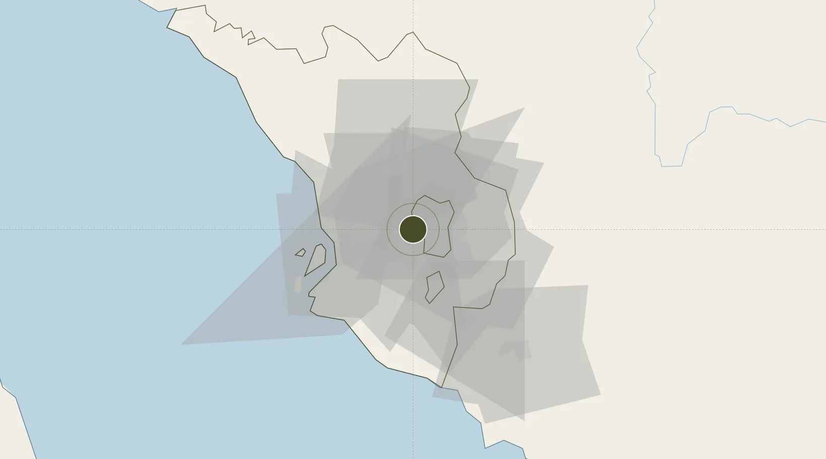
3.1192°, 101.6268°
1,148 ha
Zone area
28.5 km
Nearest port
8.7 km
Nearest airport

Gateway access

Nearest neighbours — logibook spatial index (haversine) over the source coordinates

Zone profile

Zone type
Economic Revitalization Project
Open Zone Map
Region
Selangor
Open Zone Map
Status
Under Development
Open Zone Map
Management
Public-Private Partnership
Open Zone Map
Operator
Sime Darby Property Berhad
Open Zone Map
Legal framework
Promotion of Investments Act 1986 and the Income Tax Act 1967.
Open Zone Map

Location

Location of ozm-2770
Natural Earth 10m (public domain) · Selangor · ozm-2770 · 3.12, 101.63GoogleOSMYandex

Nearby Logistics Neighbours

Ports
  1. 1Port Klang29 km
  2. 2Port Dickson67 km
  3. 3Pelabuhan Sungai Udang112 km
  4. 4Teluk Anson121 km
  5. 5Melaka123 km
Nearest neighbours — logibook spatial index (haversine) over the source coordinates
Airports
  1. 1Sultan Abdul Aziz Shah International Airport9 km
  2. 2Kuala Lumpur International Airport43 km
  3. 3Malacca International Airport118 km
  4. 4Pinang Kampai Airport169 km
  5. 5Sultan Azlan Shah Airport172 km
Nearest neighbours — logibook spatial index (haversine) over the source coordinates
Cities
  1. 1Damansara2 km
  2. 2Sungai Way4 km
  3. 3Subang Jaya8 km
  4. 4Sungai Buluh10 km
  5. 5Kepong11 km
Nearest neighbours — logibook spatial index (haversine) over the source coordinates
Trade Zones
  1. 1Sungai Way Free Industrial Zone, Wpkl4 km
  2. 2Bukit Raja Industrial Park19 km
  3. 3Multimedia Super-Corridor21 km
  4. 4Eco Business Park V23 km
  5. 5Southpoint Free Zone23 km
Nearest neighbours — logibook spatial index (haversine) over the source coordinates
DatabookThe Record of Consolidated Knowledge
Malaysia beyond logistics?
Browse databook

All Sources

Trade ZonesOpen Zone Map
CC BY
Portsthe NGA World Port Index
Public domain (US gov)
AirportsOurAirports
Public domain
LocationsUN/LOCODE
UN/LOCODE — free
← Malaysia trade zones