Free Trade Zone · Malaysia

Stulang Laut Duty Free Area In Johor Bahru Active
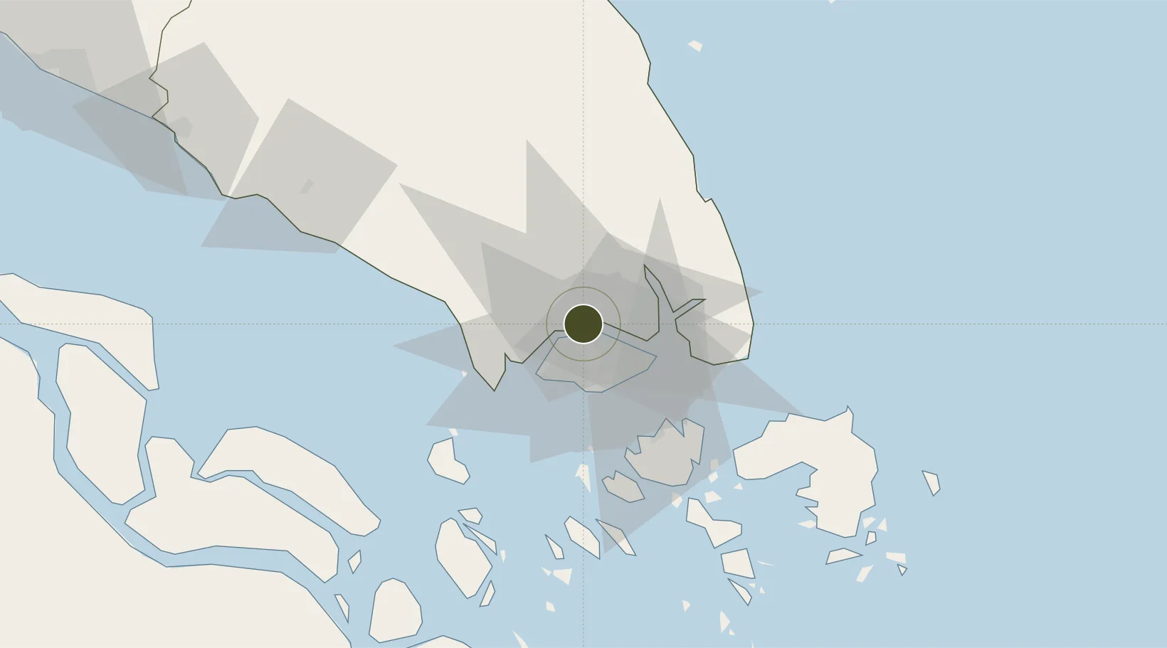
1.4710°, 103.7832°
10 ha
Zone area
13.6 km
Nearest port
6.1 km
Nearest airport

Gateway access

Nearest neighbours — logibook spatial index (haversine) over the source coordinates

Zone profile

Zone type
Free Trade Zone
Open Zone Map
Region
Johor
Open Zone Map
Status
Active
Open Zone Map
Management
Public-Private Partnership
Open Zone Map
Operator
Royal Malaysian Customs Department Johor, Zon DFZ
Open Zone Map
Legal framework
Section 65D of the Customs Act of 1967.
Open Zone Map

Location

Location of ozm-2790
Natural Earth 10m (public domain) · Johor · ozm-2790 · 1.47, 103.78GoogleOSMYandex

Nearby Logistics Neighbours

Ports
  1. 1Johor14 km
  2. 2Jurong Island22 km
  3. 3Keppel - (East Singapore)22 km
  4. 4Pulau Bukom27 km
  5. 5Tanjung Pelepas29 km
Nearest neighbours — logibook spatial index (haversine) over the source coordinates
Airports
  1. 1Sembawang Air Base6 km
  2. 2Seletar Airport11 km
  3. 3Tengah Air Base13 km
  4. 4Paya Lebar Air Base19 km
  5. 5Senai International Airport23 km
Nearest neighbours — logibook spatial index (haversine) over the source coordinates
Cities
  1. 1Taman Molek9 km
  2. 2Johor Bahru11 km
  3. 3Tampoi11 km
  4. 4Pasir Gudang, Johor12 km
  5. 5Ulu Tiram19 km
Nearest neighbours — logibook spatial index (haversine) over the source coordinates
Trade Zones
  1. 1Johor Bahru Duty Free Zone0 km
  2. 2Sembawang Wharves Free Trade Zone6 km
  3. 3Iskander Development Region8 km
  4. 4Pasir Gudang Free Industrial Zone8 km
  5. 5Eastern Gate Development Flagship Zone10 km
Nearest neighbours — logibook spatial index (haversine) over the source coordinates
DatabookThe Record of Consolidated Knowledge
Malaysia beyond logistics?
Browse databook

All Sources

Trade ZonesOpen Zone Map
CC BY
Portsthe NGA World Port Index
Public domain (US gov)
AirportsOurAirports
Public domain
LocationsUN/LOCODE
UN/LOCODE — free
← Malaysia trade zones