Diversified Zone · Malaysia

Iskandar Halal Park Under Development
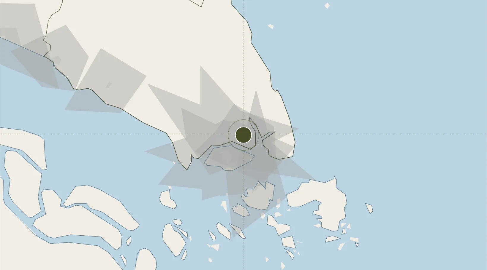
1.5235°, 103.9229°
12 ha
Zone area
10.3 km
Nearest port
13.5 km
Nearest airport

Gateway access

Nearest neighbours — logibook spatial index (haversine) over the source coordinates

Zone profile

Zone type
Diversified Zone
Open Zone Map
Region
Johor
Open Zone Map
Status
Under Development
Open Zone Map
Management
Public-Private Partnership
Open Zone Map
Operator
Tentu Teguh Sdn Bhd
Open Zone Map
Legal framework
Promotion of Investments Act 1986 and the Income Tax Act 1967.
Open Zone Map

Location

Location of ozm-2755
Natural Earth 10m (public domain) · Johor · ozm-2755 · 1.52, 103.92GoogleOSMYandex

Nearby Logistics Neighbours

Ports
  1. 1Johor10 km
  2. 2Keppel - (East Singapore)28 km
  3. 3Jurong Island34 km
  4. 4Pulau Bukom37 km
  5. 5Pulau Sebarok39 km
Nearest neighbours — logibook spatial index (haversine) over the source coordinates
Airports
  1. 1Seletar Airport14 km
  2. 2Sembawang Air Base16 km
  3. 3Paya Lebar Air Base18 km
  4. 4Singapore Changi Airport21 km
  5. 5Changi Air Base (East)22 km
Nearest neighbours — logibook spatial index (haversine) over the source coordinates
Cities
  1. 1Johor Bahru8 km
  2. 2Pasir Gudang, Johor8 km
  3. 3Kampung Tanjung Langsat12 km
  4. 4Taman Molek14 km
  5. 5Ulu Tiram16 km
Nearest neighbours — logibook spatial index (haversine) over the source coordinates
Trade Zones
  1. 1Eastern Gate Development Flagship Zone7 km
  2. 2Pasir Gudang Free Zone8 km
  3. 3Tanjung Langsat Commercial Free Zone9 km
  4. 4Pasir Gudang Free Industrial Zone11 km
  5. 5Sembawang Wharves Free Trade Zone12 km
Nearest neighbours — logibook spatial index (haversine) over the source coordinates
DatabookThe Record of Consolidated Knowledge
Malaysia beyond logistics?
Browse databook

All Sources

Trade ZonesOpen Zone Map
CC BY
Portsthe NGA World Port Index
Public domain (US gov)
AirportsOurAirports
Public domain
LocationsUN/LOCODE
UN/LOCODE — free
← Malaysia trade zones