Export Processing Zone · Malawi

Lilongwe Area 55 Zone Under Development
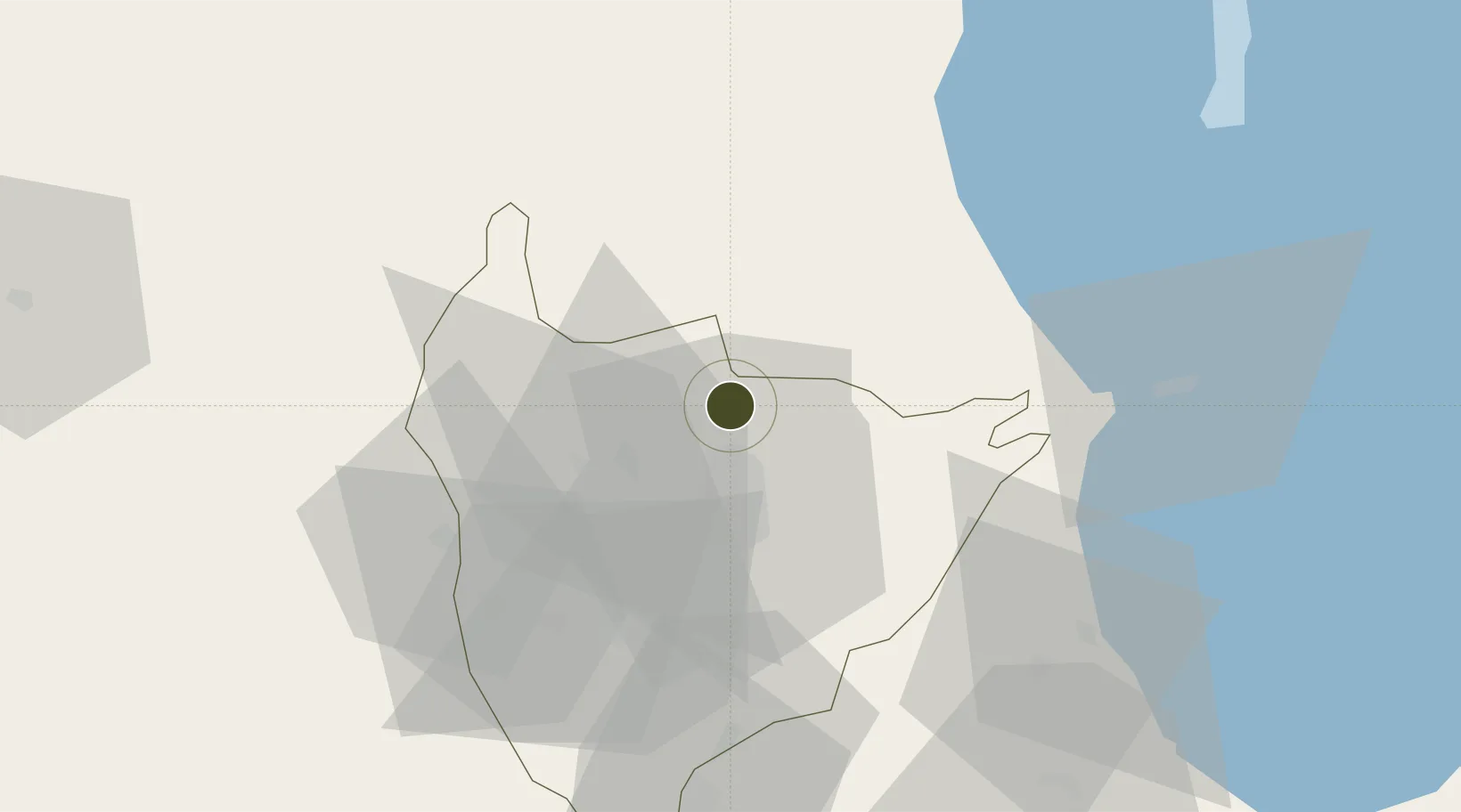
-13.8047°, 33.7734°
300 ha
Zone area
562.4 km
Nearest port
1.9 km
Nearest airport

Gateway access

Nearest neighbours — logibook spatial index (haversine) over the source coordinates

Zone profile

Zone type
Export Processing Zone
Open Zone Map
Region
Lilongwe
Open Zone Map
Status
Under Development
Open Zone Map
Management
Public
Open Zone Map
Operator
Small and Medium Enterprises Association
Open Zone Map
Legal framework
Export Processing Zones Act (No.4 of 1995).
Open Zone Map

Location

Location of ozm-2752
Natural Earth 10m (public domain) · Lilongwe · ozm-2752 · -13.80, 33.77GoogleOSMYandex

Nearby Logistics Neighbours

Ports
  1. 1Quelimane562 km
  2. 2Porto Belo566 km
  3. 3Chinde604 km
  4. 4Pebane607 km
  5. 5Beira680 km
Nearest neighbours — logibook spatial index (haversine) over the source coordinates
Airports
  1. 1Kamuzu International Airport2 km
  2. 2Dwangwa Airport148 km
  3. 3Lichinga Airport172 km
  4. 4Mfuwe International Airport208 km
  5. 5Chileka International Airport245 km
Nearest neighbours — logibook spatial index (haversine) over the source coordinates
Cities
  1. 1Chipoka83 km
  2. 2Sinda223 km
  3. 3Zomba243 km
  4. 4Thyolo291 km
  5. 5Mutoko433 km
Nearest neighbours — logibook spatial index (haversine) over the source coordinates
Trade Zones
  1. 1Cape Maclear Tourism Hub Mangochi119 km
  2. 2Ute Special Economic Zone174 km
  3. 3Liwonde Dry Port (Malawi Gateway Project)211 km
  4. 4Zalewa Agro-processing Special Economic Zone217 km
  5. 5Chintheche Industrial Park223 km
Nearest neighbours — logibook spatial index (haversine) over the source coordinates
DatabookThe Record of Consolidated Knowledge
Malawi beyond logistics?
Browse databook

All Sources

Trade ZonesOpen Zone Map
CC BY
Portsthe NGA World Port Index
Public domain (US gov)
AirportsOurAirports
Public domain
LocationsUN/LOCODE
UN/LOCODE — free
← Malawi trade zones