Diversified Zone · Mozambique

Ute Special Economic Zone Under Development
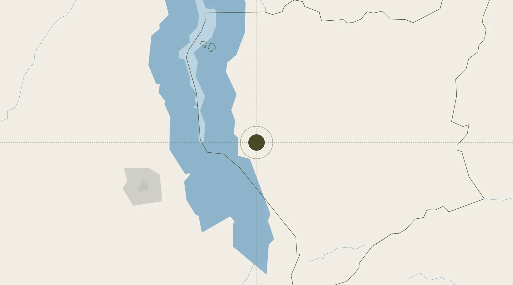
-13.3586°, 35.3125°
681 ha
Zone area
522.7 km
Nearest port
10.7 km
Nearest airport

Gateway access

Nearest neighbours — logibook spatial index (haversine) over the source coordinates

Zone profile

Zone type
Diversified Zone
Open Zone Map
Region
Niassa
Open Zone Map
Status
Under Development
Open Zone Map
Management
Public
Open Zone Map
Operator
APIEX
Open Zone Map
Legal framework
Decree 11 December 2018
Open Zone Map

Location

Location of ozm-2884
Natural Earth 10m (public domain) · Niassa · ozm-2884 · -13.36, 35.31GoogleOSMYandex

Nearby Logistics Neighbours

Ports
  1. 1Porto Belo523 km
  2. 2Pebane531 km
  3. 3Quelimane531 km
  4. 4Pemba563 km
  5. 5Ibo586 km
Nearest neighbours — logibook spatial index (haversine) over the source coordinates
Airports
  1. 1Lichinga Airport11 km
  2. 2Dwangwa Airport159 km
  3. 3Kamuzu International Airport172 km
  4. 4Mzuzu Airport255 km
  5. 5Chileka International Airport260 km
Nearest neighbours — logibook spatial index (haversine) over the source coordinates
Cities
  1. 1Chipoka112 km
  2. 2Zomba225 km
  3. 3Thyolo302 km
  4. 4Sinda397 km
  5. 5Zambezia478 km
Nearest neighbours — logibook spatial index (haversine) over the source coordinates
Trade Zones
  1. 1Cape Maclear Tourism Hub Mangochi88 km
  2. 2Lilongwe Area 55 Zone174 km
  3. 3Liwonde Dry Port (Malawi Gateway Project)191 km
  4. 4Chintheche Industrial Park210 km
  5. 5Zalewa Agro-processing Special Economic Zone237 km
Nearest neighbours — logibook spatial index (haversine) over the source coordinates
DatabookThe Record of Consolidated Knowledge
Mozambique beyond logistics?
Browse databook

All Sources

Trade ZonesOpen Zone Map
CC BY
Portsthe NGA World Port Index
Public domain (US gov)
AirportsOurAirports
Public domain
LocationsUN/LOCODE
UN/LOCODE — free
← Mozambique trade zones