Transport Functions
Port
Road
Hub Profile
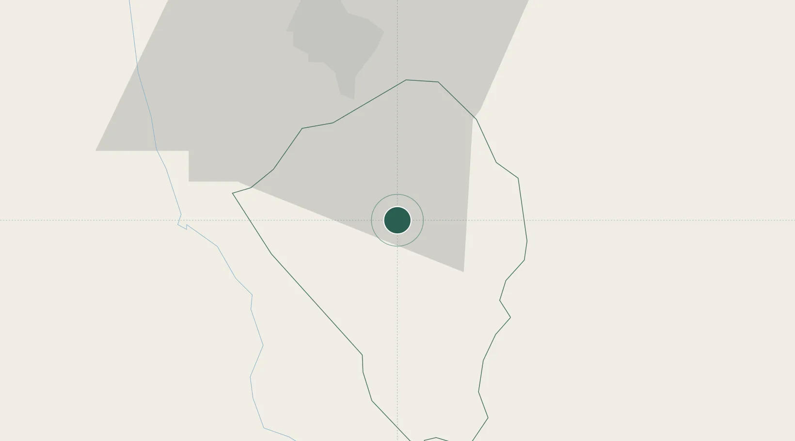
Place type
Provincial seat
Region
Southern Region
Population
8,845
Time zone
Africa/Blantyre
Elevation
912 m
Location
Nearby Logistics Neighbours
Ports
- 1Quelimane275 km
- 2Porto Belo284 km
- 3Chinde314 km
- 4Pebane348 km
- 5Beira420 km
Airports
- 1Chileka International Airport47 km
- 2Tete Airport160 km
- 3Quelimane Airport271 km
- 4Kamuzu International Airport292 km
- 5Lichinga Airport311 km
DatabookThe Record of Consolidated Knowledge
Malawi beyond logistics?