Transport Functions
Multimodal
Hub Profile
Place type
Provincial seat
Region
Southern Region
Population
118,440
Time zone
Africa/Blantyre
Elevation
949 m
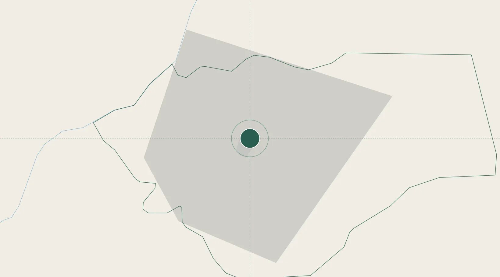
Location
Nearby Logistics Neighbours
Ports
- 1Quelimane323 km
- 2Porto Belo324 km
- 3Pebane366 km
- 4Chinde375 km
- 5Beira498 km
Airports
- 1Chileka International Airport51 km
- 2Tete Airport198 km
- 3Lichinga Airport235 km
- 4Kamuzu International Airport244 km
- 5Quelimane Airport320 km
DatabookThe Record of Consolidated Knowledge
Malawi beyond logistics?