Large airport · Malawi

Kamuzu International AirportFWKI
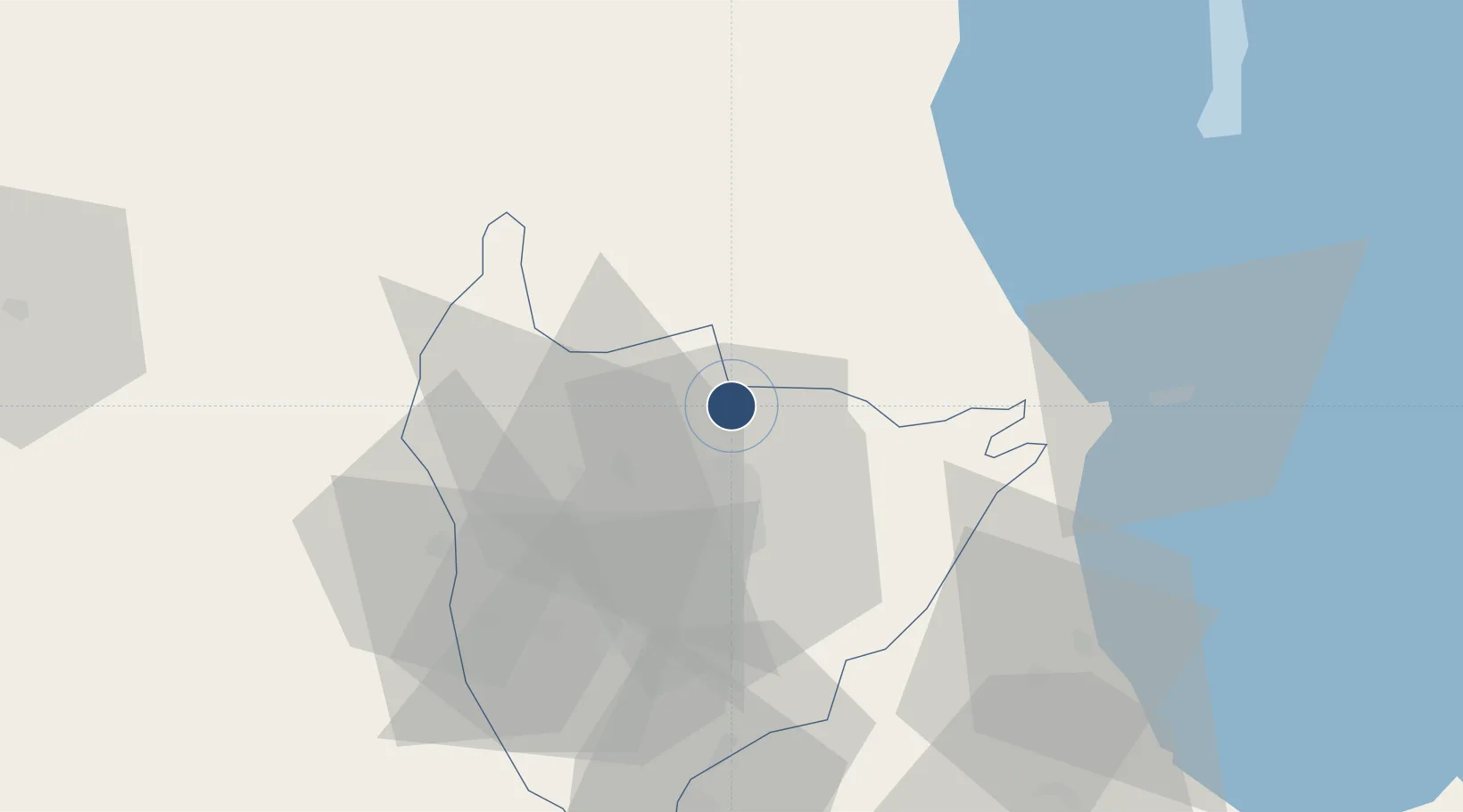
-13.7894°, 33.7810°
11,614 ft
Longest runway
1
Runways
4,035 ft
Elevation

Runway & Layout

Kamuzu International Airport runway & taxiway layout
Runway & taxiway layout — OpenStreetMap (ODbL) / OurAirports

Radio Frequencies

TWR
118.7 MHz
LUMBADZI TWR
APP
128 MHz
RDR
124.7 MHz
RADAR
OurAirports

Runways · 1

RunwayDimensions SurfaceTrue headingLit
14/32 11,614 × 148ft Asphalt 131°
OurAirports

Airport Specifications

IATA code
LLW
OurAirports
ICAO code
FWKI
OurAirports
Airport class
Large airport
OurAirports
Scheduled service
Yes
OurAirports
Runway surface
Asphalt
OurAirports
Served city
Lumbadzi
OurAirports

Location

Location of FWKI
Natural Earth 10m (public domain) · Lilongwe · FWKI · -13.79, 33.78GoogleOSMYandex

Nearby Logistics Neighbours

Airports
  1. 1Dwangwa Airport146 km
  2. 2Lichinga Airport171 km
  3. 3Mfuwe International Airport208 km
  4. 4Chileka International Airport246 km
  5. 5Tete Airport258 km
Nearest neighbours — logibook spatial index (haversine) over the source coordinates
Cities
  1. 1Chipoka83 km
  2. 2Sinda225 km
  3. 3Zomba244 km
  4. 4Thyolo292 km
  5. 5Mutoko435 km
Nearest neighbours — logibook spatial index (haversine) over the source coordinates
Ports
  1. 1Quelimane563 km
  2. 2Porto Belo567 km
  3. 3Chinde605 km
  4. 4Pebane607 km
  5. 5Beira681 km
Nearest neighbours — logibook spatial index (haversine) over the source coordinates
Trade Zones
  1. 1Lilongwe Area 55 Zone2 km
  2. 2Cape Maclear Tourism Hub Mangochi118 km
  3. 3Ute Special Economic Zone172 km
  4. 4Liwonde Dry Port (Malawi Gateway Project)212 km
  5. 5Zalewa Agro-processing Special Economic Zone218 km
Nearest neighbours — logibook spatial index (haversine) over the source coordinates
DatabookThe Record of Consolidated Knowledge
Malawi beyond logistics?
Browse databook

All Sources

AirportsOurAirports
Public domain
Portsthe NGA World Port Index
Public domain (US gov)
LocationsUN/LOCODE
UN/LOCODE — free
Trade Zonesthe World Bank SEZ database
CC BY 4.0
Trade ZonesOpen Zone Map
CC BY
InfrastructureOpenStreetMap
ODbL 1.0
← Malawi airports