Export Processing Zone · Malawi

Chintheche Industrial Park Under Development
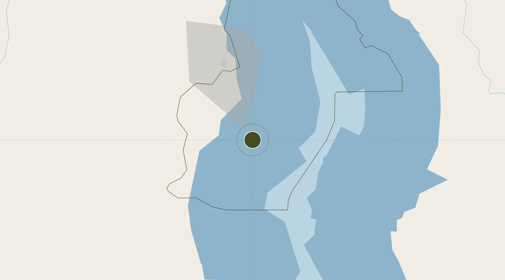
-11.8333°, 34.1699°
24 ha
Zone area
669.5 km
Nearest port
46.5 km
Nearest airport

Gateway access

Nearest neighbours — logibook spatial index (haversine) over the source coordinates

Zone profile

Zone type
Export Processing Zone
Open Zone Map
Region
Nkhata Bay
Open Zone Map
Status
Under Development
Open Zone Map
Management
Public-Private Partnership
Open Zone Map
Operator
Water Wheel International, Malawi Investment and Trade Centre
Open Zone Map
Legal framework
Export Processing Zones Act (No.4 of 1995).
Open Zone Map

Location

Location of ozm-2750
Natural Earth 10m (public domain) · Nkhata Bay · ozm-2750 · -11.83, 34.17GoogleOSMYandex

Nearby Logistics Neighbours

Ports
  1. 1Kilwa Kivinje670 km
  2. 2Mikindani674 km
  3. 3Mtwara681 km
  4. 4Pemba699 km
  5. 5Ibo703 km
Nearest neighbours — logibook spatial index (haversine) over the source coordinates
Airports
  1. 1Mzuzu Airport47 km
  2. 2Dwangwa Airport76 km
  3. 3Lichinga Airport200 km
  4. 4Karonga Airport211 km
  5. 5Kamuzu International Airport222 km
Nearest neighbours — logibook spatial index (haversine) over the source coordinates
Cities
  1. 1Chipoka244 km
  2. 2Sinda374 km
  3. 3Zomba414 km
  4. 4Thyolo482 km
  5. 5Zambezia612 km
Nearest neighbours — logibook spatial index (haversine) over the source coordinates
Trade Zones
  1. 1Luwawasi Export Processing Zone203 km
  2. 2Ruvuma Special Economic Zone204 km
  3. 3Ute Special Economic Zone210 km
  4. 4Lilongwe Area 55 Zone223 km
  5. 5Cape Maclear Tourism Hub Mangochi253 km
Nearest neighbours — logibook spatial index (haversine) over the source coordinates
DatabookThe Record of Consolidated Knowledge
Malawi beyond logistics?
Browse databook

All Sources

Trade ZonesOpen Zone Map
CC BY
Portsthe NGA World Port Index
Public domain (US gov)
AirportsOurAirports
Public domain
LocationsUN/LOCODE
UN/LOCODE — free
← Malawi trade zones