Medium airport · Mozambique

Lichinga AirportFQLC
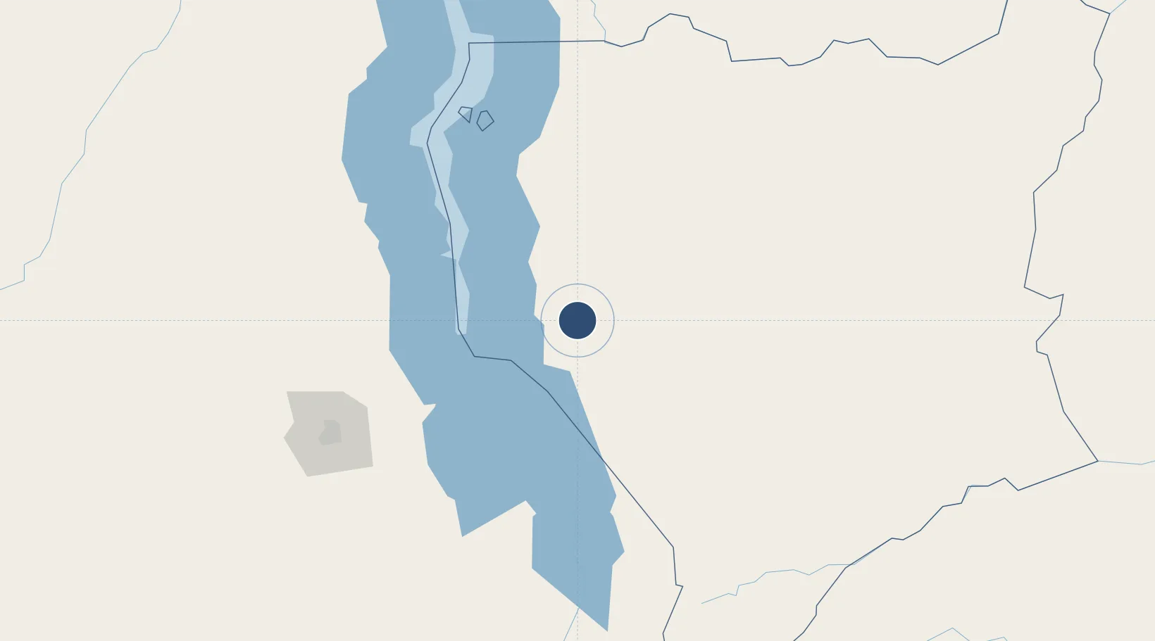
-13.2740°, 35.2663°
8,300 ft
Longest runway
1
Runways
4,505 ft
Elevation

Runway & Layout

Lichinga Airport runway & taxiway layout
Runway & taxiway layout — OpenStreetMap (ODbL) / OurAirports

Radio Frequencies

AFIS
118.4 MHz
OurAirports

Navaids

LC NDB Lichinga 345 kHz
VLC VOR-DME Lichinga 117.10 MHz
OurAirports

Runways · 1

RunwayDimensions SurfaceTrue headingLit
08/26 8,300 × 148ft Asphalt 071°
OurAirports

Airport Specifications

IATA code
VXC
OurAirports
ICAO code
FQLC
OurAirports
Airport class
Medium airport
OurAirports
Scheduled service
Yes
OurAirports
Runway surface
Asphalt
OurAirports
Served city
Lichinga
OurAirports

Location

Location of FQLC
Natural Earth 10m (public domain) · Niassa · FQLC · -13.27, 35.27GoogleOSMYandex

Nearby Logistics Neighbours

Airports
  1. 1Dwangwa Airport149 km
  2. 2Kamuzu International Airport171 km
  3. 3Mzuzu Airport245 km
  4. 4Chileka International Airport269 km
  5. 5Tete Airport360 km
Nearest neighbours — logibook spatial index (haversine) over the source coordinates
Cities
  1. 1Chipoka114 km
  2. 2Zomba235 km
  3. 3Thyolo311 km
  4. 4Sinda395 km
  5. 5Zambezia482 km
Nearest neighbours — logibook spatial index (haversine) over the source coordinates
Ports
  1. 1Porto Belo533 km
  2. 2Quelimane541 km
  3. 3Pebane541 km
  4. 4Pemba568 km
  5. 5Ibo590 km
Nearest neighbours — logibook spatial index (haversine) over the source coordinates
Trade Zones
  1. 1Ute Special Economic Zone11 km
  2. 2Cape Maclear Tourism Hub Mangochi94 km
  3. 3Lilongwe Area 55 Zone172 km
  4. 4Chintheche Industrial Park200 km
  5. 5Liwonde Dry Port (Malawi Gateway Project)200 km
Nearest neighbours — logibook spatial index (haversine) over the source coordinates
DatabookThe Record of Consolidated Knowledge
Mozambique beyond logistics?
Browse databook

All Sources

AirportsOurAirports
Public domain
Portsthe NGA World Port Index
Public domain (US gov)
LocationsUN/LOCODE
UN/LOCODE — free
Trade Zonesthe World Bank SEZ database
CC BY 4.0
Trade ZonesOpen Zone Map
CC BY
InfrastructureOpenStreetMap
ODbL 1.0
← Mozambique airports