Export Processing Zone · Malawi

Zalewa Agro-processing Special Economic Zone Under Development
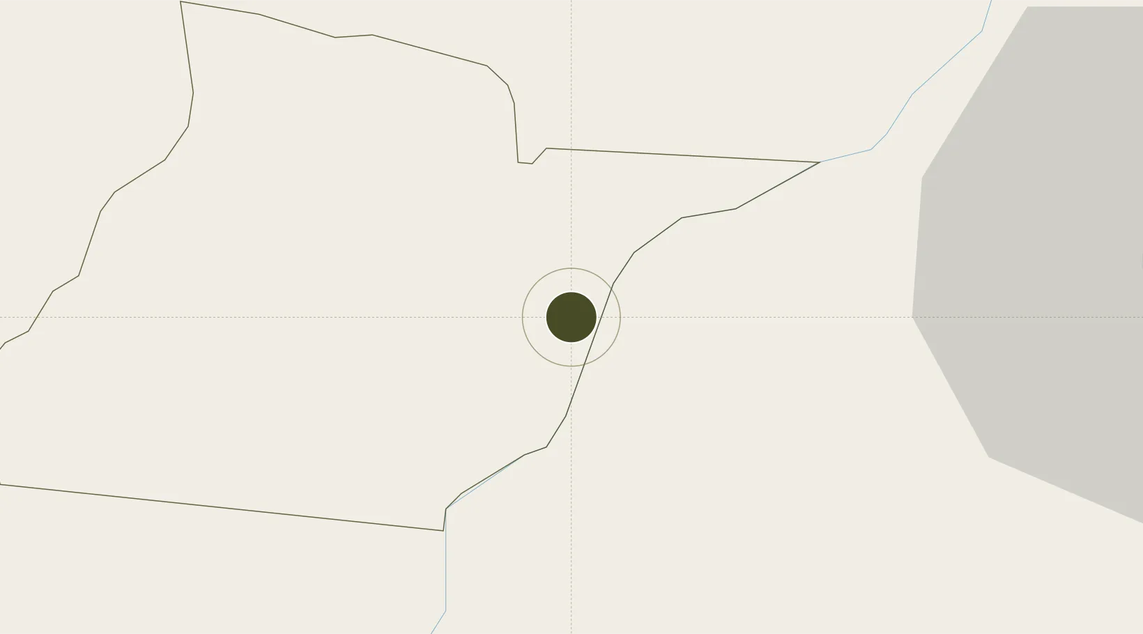
-15.4452°, 34.8624°
2 ha
Zone area
346.2 km
Nearest port
28.4 km
Nearest airport

Gateway access

Nearest neighbours — logibook spatial index (haversine) over the source coordinates

Zone profile

Zone type
Export Processing Zone
Open Zone Map
Region
Neno
Open Zone Map
Status
Under Development
Open Zone Map
Management
Public
Open Zone Map
Operator
Malawi Investment and Trade Centre
Open Zone Map
Legal framework
Export Processing Zones Act (No.4 of 1995).
Open Zone Map

Location

Location of ozm-2748
Natural Earth 10m (public domain) · Neno · ozm-2748 · -15.45, 34.86GoogleOSMYandex

Nearby Logistics Neighbours

Ports
  1. 1Quelimane346 km
  2. 2Porto Belo352 km
  3. 3Chinde388 km
  4. 4Pebane405 km
  5. 5Beira488 km
Nearest neighbours — logibook spatial index (haversine) over the source coordinates
Airports
  1. 1Chileka International Airport28 km
  2. 2Tete Airport150 km
  3. 3Kamuzu International Airport218 km
  4. 4Lichinga Airport245 km
  5. 5Dwangwa Airport335 km
Nearest neighbours — logibook spatial index (haversine) over the source coordinates
Cities
  1. 1Zomba51 km
  2. 2Thyolo75 km
  3. 3Chipoka165 km
  4. 4Mutoko356 km
  5. 5Sinda361 km
Nearest neighbours — logibook spatial index (haversine) over the source coordinates
Trade Zones
  1. 1Matindi Industrial Park45 km
  2. 2Chigumula Special Economic Zone53 km
  3. 3Liwonde Dry Port (Malawi Gateway Project)58 km
  4. 4Revúboè (Revubue) Industrial Free Zone145 km
  5. 5Cape Maclear Tourism Hub Mangochi159 km
Nearest neighbours — logibook spatial index (haversine) over the source coordinates
DatabookThe Record of Consolidated Knowledge
Malawi beyond logistics?
Browse databook

All Sources

Trade ZonesOpen Zone Map
CC BY
Portsthe NGA World Port Index
Public domain (US gov)
AirportsOurAirports
Public domain
LocationsUN/LOCODE
UN/LOCODE — free
← Malawi trade zones