Transport Functions
Port
Road
Multimodal
Hub Profile
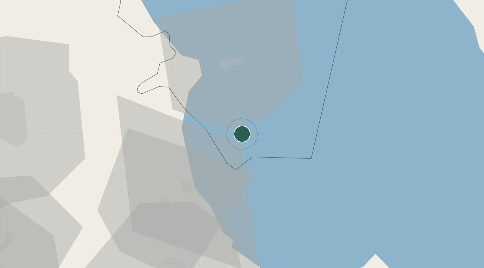
Place type
Populated place
Region
Central Region
Population
7,212
Time zone
Africa/Blantyre
Elevation
483 m
Location
Nearby Logistics Neighbours
Cities
- 1Zomba177 km
- 2Thyolo239 km
- 3Sinda300 km
- 4Mutoko451 km
- 5Marlborough546 km
Ports
- 1Quelimane501 km
- 2Porto Belo501 km
- 3Pebane532 km
- 4Chinde550 km
- 5Beira650 km
Airports
- 1Kamuzu International Airport83 km
- 2Lichinga Airport114 km
- 3Dwangwa Airport170 km
- 4Chileka International Airport193 km
- 5Tete Airport252 km
Trade Zones
DatabookThe Record of Consolidated Knowledge
Malawi beyond logistics?