Large airport · Malawi

Chileka International AirportFWCL
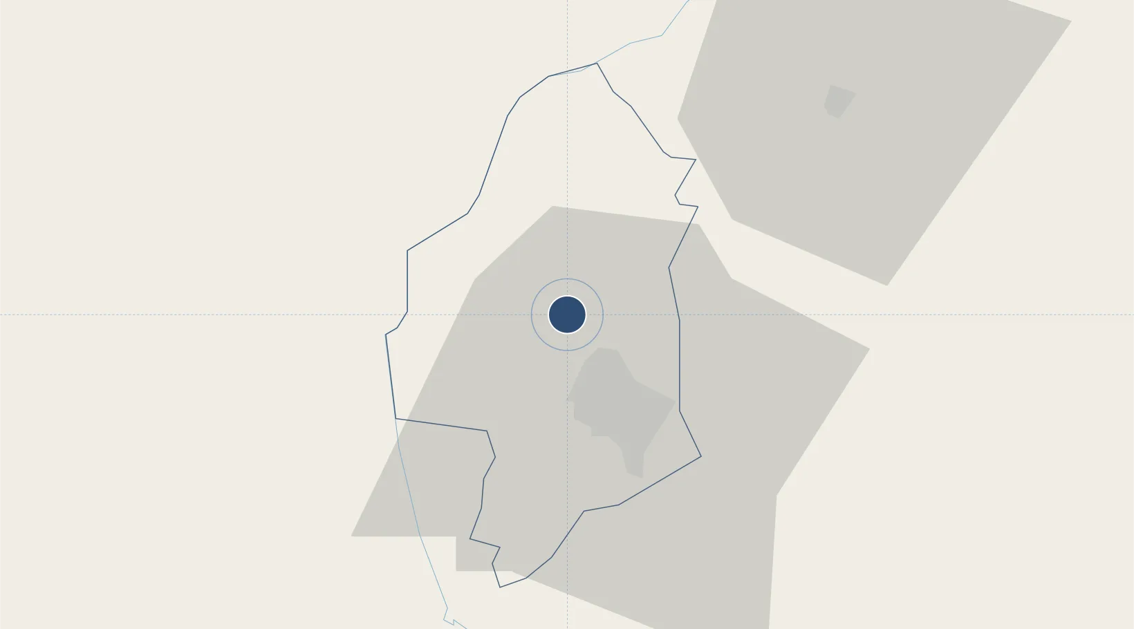
-15.6772°, 34.9723°
7,628 ft
Longest runway
2
Runways
2,555 ft
Elevation

Runway & Layout

Chileka International Airport runway & taxiway layout
Runway & taxiway layout — OpenStreetMap (ODbL) / OurAirports

Radio Frequencies

TWR
118.1 MHz
APP
124.9 MHz
OurAirports

Navaids

CL NDB Chileka 253 kHz
NC NDB Chileka 356 kHz
VCL VOR-DME Chileka 113.30 MHz
OurAirports

Runways · 2

RunwayDimensions SurfaceTrue headingLit
10/28 7,628 × 98ft Asphalt 097°
15/33 4,501 × 98ft Asphalt 141°
OurAirports

Airport Specifications

IATA code
BLZ
OurAirports
ICAO code
FWCL
OurAirports
Airport class
Large airport
OurAirports
Scheduled service
Yes
OurAirports
Runway surface
Asphalt
OurAirports
Served city
Blantyre
OurAirports

Location

Location of FWCL
Natural Earth 10m (public domain) · Blantyre · FWCL · -15.68, 34.97GoogleOSMYandex

Nearby Logistics Neighbours

Airports
  1. 1Tete Airport150 km
  2. 2Kamuzu International Airport246 km
  3. 3Lichinga Airport269 km
  4. 4Quelimane Airport315 km
  5. 5Mutoko Airport356 km
Nearest neighbours — logibook spatial index (haversine) over the source coordinates
Cities
  1. 1Thyolo47 km
  2. 2Zomba51 km
  3. 3Chipoka193 km
  4. 4Mutoko351 km
  5. 5Sinda382 km
Nearest neighbours — logibook spatial index (haversine) over the source coordinates
Ports
  1. 1Quelimane319 km
  2. 2Porto Belo326 km
  3. 3Chinde360 km
  4. 4Pebane382 km
  5. 5Beira462 km
Nearest neighbours — logibook spatial index (haversine) over the source coordinates
Trade Zones
  1. 1Matindi Industrial Park17 km
  2. 2Chigumula Special Economic Zone25 km
  3. 3Zalewa Agro-processing Special Economic Zone28 km
  4. 4Liwonde Dry Port (Malawi Gateway Project)73 km
  5. 5Revúboè (Revubue) Industrial Free Zone145 km
Nearest neighbours — logibook spatial index (haversine) over the source coordinates
DatabookThe Record of Consolidated Knowledge
Malawi beyond logistics?
Browse databook

All Sources

AirportsOurAirports
Public domain
Portsthe NGA World Port Index
Public domain (US gov)
LocationsUN/LOCODE
UN/LOCODE — free
Trade Zonesthe World Bank SEZ database
CC BY 4.0
Trade ZonesOpen Zone Map
CC BY
InfrastructureOpenStreetMap
ODbL 1.0
← Malawi airports