Transport Functions
Multimodal
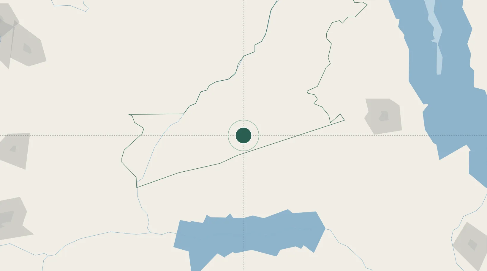
Hub Profile
Place type
Populated place
Region
Eastern Province
Population
18,716
Time zone
Africa/Lusaka
Elevation
1,099 m
Location
Nearby Logistics Neighbours
Cities
- 1Chipoka300 km
- 2Mutoko356 km
- 3Sakania383 km
- 4Marlborough395 km
- 5Zomba406 km
Ports
- 1Quelimane682 km
- 2Porto Belo697 km
- 3Chinde699 km
- 4Beira704 km
- 5Pebane763 km
Airports
- 1Mfuwe International Airport110 km
- 2Kamuzu International Airport225 km
- 3Tete Airport291 km
- 4Dwangwa Airport321 km
- 5Mutoko Airport359 km
DatabookThe Record of Consolidated Knowledge
Zambia beyond logistics?