Large airport · Zambia

Mfuwe International AirportFLMF
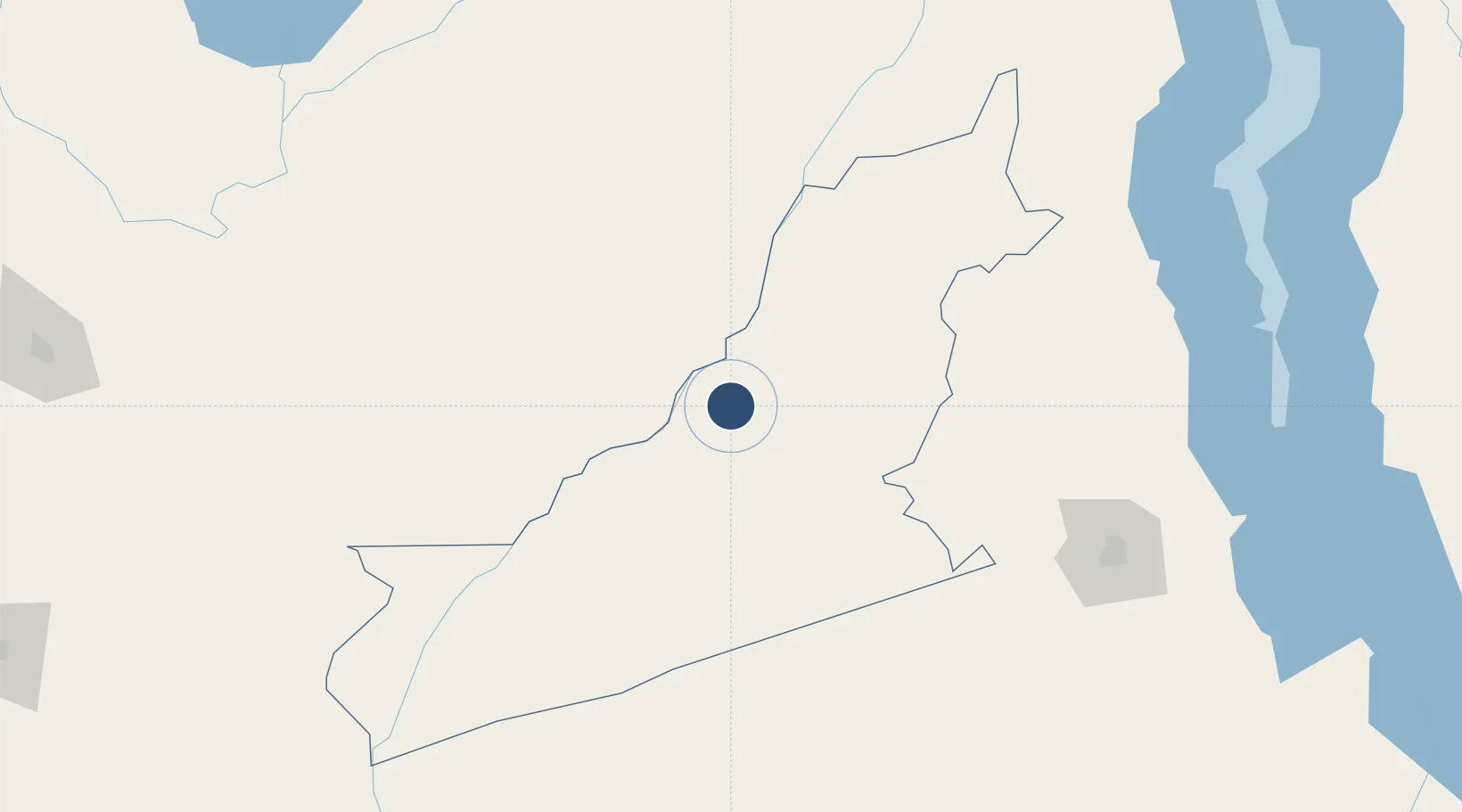
-13.2589°, 31.9366°
7,349 ft
Longest runway
1
Runways
1,853 ft
Elevation

Runway & Layout

Mfuwe International Airport runway & taxiway layout
Runway & taxiway layout — OpenStreetMap (ODbL) / OurAirports

Radio Frequencies

TWR
118.3 MHz
APP
120.7 MHz
OurAirports

Navaids

MF NDB Mfuwe 401 kHz
VMF VOR-DME Mfuwe 112.90 MHz
OurAirports

Runways · 1

RunwayDimensions SurfaceTrue headingLit
09/27 7,349 × 148ft Asphalt 083°
OurAirports

Airport Specifications

IATA code
MFU
OurAirports
ICAO code
FLMF
OurAirports
Airport class
Large airport
OurAirports
Scheduled service
Yes
OurAirports
Runway surface
Asphalt
OurAirports
Served city
Mfuwe
OurAirports

Location

Location of FLMF
Natural Earth 10m (public domain) · Eastern · FLMF · -13.26, 31.94GoogleOSMYandex

Nearby Logistics Neighbours

Airports
  1. 1Kamuzu International Airport208 km
  2. 2Dwangwa Airport252 km
  3. 3Mzuzu Airport303 km
  4. 4Kasama Airport350 km
  5. 5Peter Zuze Air Force Base356 km
Nearest neighbours — logibook spatial index (haversine) over the source coordinates
Cities
  1. 1Sinda110 km
  2. 2Chipoka291 km
  3. 3Sakania371 km
  4. 4Kalulishi420 km
  5. 5Kalulushi420 km
Nearest neighbours — logibook spatial index (haversine) over the source coordinates
Ports
  1. 1Quelimane738 km
  2. 2Porto Belo748 km
  3. 3Chinde766 km
  4. 4Beira794 km
  5. 5Pebane802 km
Nearest neighbours — logibook spatial index (haversine) over the source coordinates
Trade Zones
  1. 1Lilongwe Area 55 Zone208 km
  2. 2Chintheche Industrial Park290 km
  3. 3Cape Maclear Tourism Hub Mangochi326 km
  4. 4Sub-Sahara Gemstone (Ndola) Multi-Facility Economic Zone356 km
  5. 5Ute Special Economic Zone366 km
Nearest neighbours — logibook spatial index (haversine) over the source coordinates
DatabookThe Record of Consolidated Knowledge
Zambia beyond logistics?
Browse databook

All Sources

AirportsOurAirports
Public domain
Portsthe NGA World Port Index
Public domain (US gov)
LocationsUN/LOCODE
UN/LOCODE — free
Trade Zonesthe World Bank SEZ database
CC BY 4.0
Trade ZonesOpen Zone Map
CC BY
InfrastructureOpenStreetMap
ODbL 1.0
← Zambia airports