Transport Functions
Multimodal
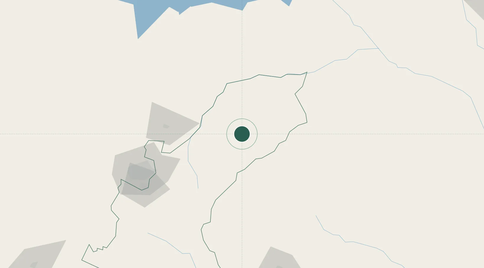
Hub Profile
Place type
Populated place
Region
Mashonaland East Province
Population
12,336
Time zone
Africa/Harare
Elevation
1,285 m
Location
Nearby Logistics Neighbours
Cities
- 1Marlborough113 km
- 2Rusape127 km
- 3Norton170 km
- 4Mutare183 km
- 5Chegutu234 km
Ports
- 1Beira386 km
- 2Chinde471 km
- 3Quelimane497 km
- 4Porto Belo528 km
- 5Pebane630 km
Airports
- 1Mutoko Airport5 km
- 2Robert Gabriel Mugabe International Airport133 km
- 3Tete Airport209 km
- 4Chimoio Airport233 km
- 5Masvingo International Airport328 km
Trade Zones
DatabookThe Record of Consolidated Knowledge
Zimbabwe beyond logistics?