Medium airport · Malawi
Dwangwa AirportFWDW
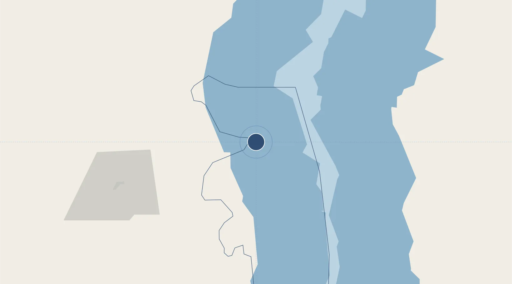
-12.5175°, 34.1319°
3,980 ft
Longest runway
1
Runways
1,605 ft
Elevation
Runway & Layout

Runways · 1
| Runway | Dimensions | Surface | True heading | Lit |
|---|---|---|---|---|
| 14/32 | 3,980 × —ft | — | — | — |
Airport Specifications
IATA code
DWA
ICAO code
FWDW
Airport class
Medium airport
Scheduled service
No
Served city
Dwangwa
Location
Nearby Logistics Neighbours
Airports
- 1Mzuzu Airport120 km
- 2Kamuzu International Airport146 km
- 3Lichinga Airport149 km
- 4Mfuwe International Airport252 km
- 5Karonga Airport286 km
Ports
- 1Porto Belo663 km
- 2Quelimane666 km
- 3Pebane682 km
- 4Pemba692 km
- 5Mikindani700 km
Trade Zones
- 1Chintheche Industrial Park76 km
- 2Lilongwe Area 55 Zone148 km
- 3Ute Special Economic Zone159 km
- 4Cape Maclear Tourism Hub Mangochi184 km
- 5Luwawasi Export Processing Zone261 km
DatabookThe Record of Consolidated Knowledge
Malawi beyond logistics?