Export Processing Zone · Malawi

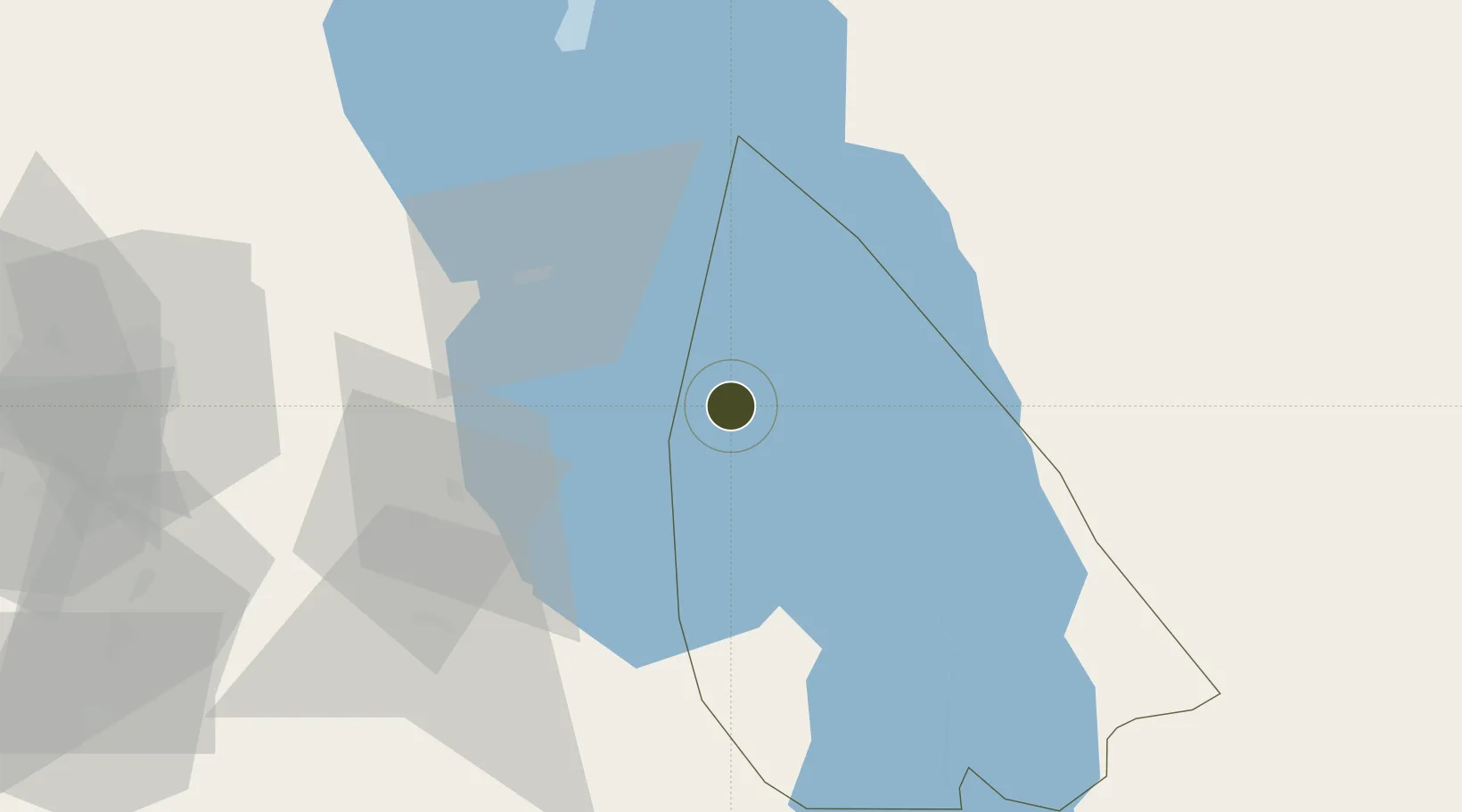
Cape Maclear Tourism Hub Mangochi Under Development

-14.0137°, 34.8505°
1,308 ha
Zone area
479.8 km
Nearest port
93.7 km
Nearest airport

Gateway access

Nearest neighbours — logibook spatial index (haversine) over the source coordinates

Zone profile

Zone type
Export Processing Zone
Open Zone Map
Region
Mangochi
Open Zone Map
Status
Under Development
Open Zone Map
Management
Public-Private Partnership
Open Zone Map
Operator
Orascom Development
Open Zone Map
Legal framework
Export Processing Zones Act (No.4 of 1995).
Open Zone Map

Location

Location of ozm-2754
Natural Earth 10m (public domain) · Mangochi · ozm-2754 · -14.01, 34.85GoogleOSMYandex

Nearby Logistics Neighbours

Ports
  1. 1Porto Belo480 km
  2. 2Quelimane482 km
  3. 3Pebane506 km
  4. 4Chinde536 km
  5. 5Pemba622 km
Nearest neighbours — logibook spatial index (haversine) over the source coordinates
Airports
  1. 1Lichinga Airport94 km
  2. 2Kamuzu International Airport118 km
  3. 3Dwangwa Airport184 km
  4. 4Chileka International Airport185 km
  5. 5Tete Airport266 km
Nearest neighbours — logibook spatial index (haversine) over the source coordinates
Cities
  1. 1Chipoka36 km
  2. 2Zomba161 km
  3. 3Thyolo230 km
  4. 4Sinda335 km
  5. 5Mutoko470 km
Nearest neighbours — logibook spatial index (haversine) over the source coordinates
Trade Zones
  1. 1Ute Special Economic Zone88 km
  2. 2Lilongwe Area 55 Zone119 km
  3. 3Liwonde Dry Port (Malawi Gateway Project)125 km
  4. 4Zalewa Agro-processing Special Economic Zone159 km
  5. 5Matindi Industrial Park199 km
Nearest neighbours — logibook spatial index (haversine) over the source coordinates
DatabookThe Record of Consolidated Knowledge
Malawi beyond logistics?
Browse databook

All Sources

Trade ZonesOpen Zone Map
CC BY
Portsthe NGA World Port Index
Public domain (US gov)
AirportsOurAirports
Public domain
LocationsUN/LOCODE
UN/LOCODE — free
← Malawi trade zones