Export Processing Zone · Malawi

Liwonde Dry Port (Malawi Gateway Project) Under Development
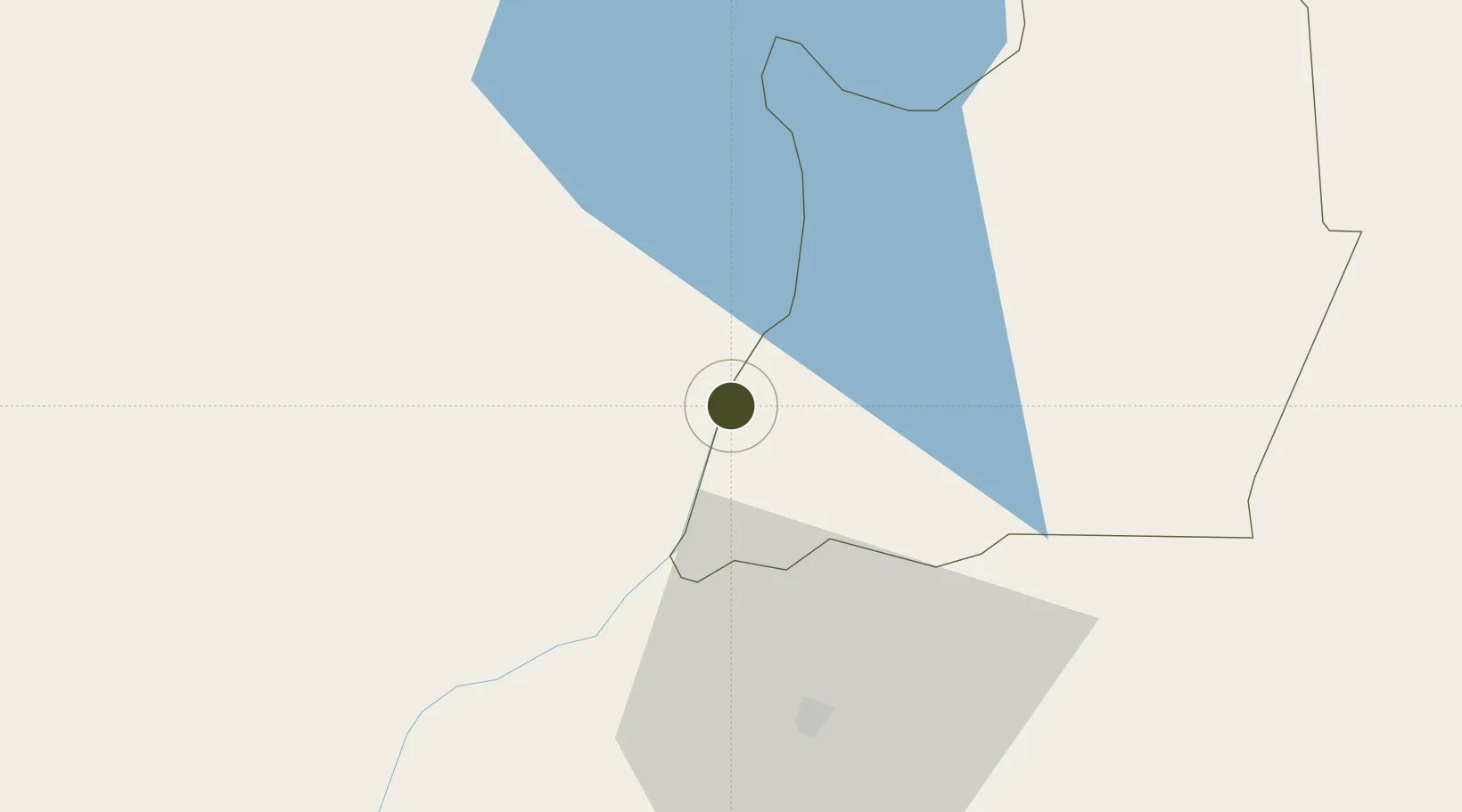
-15.0715°, 35.2377°
16 ha
Zone area
358.5 km
Nearest port
73.1 km
Nearest airport

Gateway access

Nearest neighbours — logibook spatial index (haversine) over the source coordinates

Zone profile

Zone type
Export Processing Zone
Open Zone Map
Region
Machinga
Open Zone Map
Status
Under Development
Open Zone Map
Management
Public-Private Partnership
Open Zone Map
Operator
Mota-Engil, Malawi Investment and Trade Centre
Open Zone Map
Legal framework
Export Processing Zones Act (No.4 of 1995).
Open Zone Map

Location

Location of ozm-2749
Natural Earth 10m (public domain) · Machinga · ozm-2749 · -15.07, 35.24GoogleOSMYandex

Nearby Logistics Neighbours

Ports
  1. 1Porto Belo359 km
  2. 2Quelimane359 km
  3. 3Pebane395 km
  4. 4Chinde411 km
  5. 5Beira531 km
Nearest neighbours — logibook spatial index (haversine) over the source coordinates
Airports
  1. 1Chileka International Airport73 km
  2. 2Lichinga Airport200 km
  3. 3Tete Airport206 km
  4. 4Kamuzu International Airport212 km
  5. 5Dwangwa Airport308 km
Nearest neighbours — logibook spatial index (haversine) over the source coordinates
Cities
  1. 1Zomba36 km
  2. 2Thyolo111 km
  3. 3Chipoka142 km
  4. 4Sinda387 km
  5. 5Mutoko414 km
Nearest neighbours — logibook spatial index (haversine) over the source coordinates
Trade Zones
  1. 1Zalewa Agro-processing Special Economic Zone58 km
  2. 2Matindi Industrial Park82 km
  3. 3Chigumula Special Economic Zone92 km
  4. 4Cape Maclear Tourism Hub Mangochi125 km
  5. 5Ute Special Economic Zone191 km
Nearest neighbours — logibook spatial index (haversine) over the source coordinates
DatabookThe Record of Consolidated Knowledge
Malawi beyond logistics?
Browse databook

All Sources

Trade ZonesOpen Zone Map
CC BY
Portsthe NGA World Port Index
Public domain (US gov)
AirportsOurAirports
Public domain
LocationsUN/LOCODE
UN/LOCODE — free
← Malawi trade zones