Transport Functions
Rail
Road
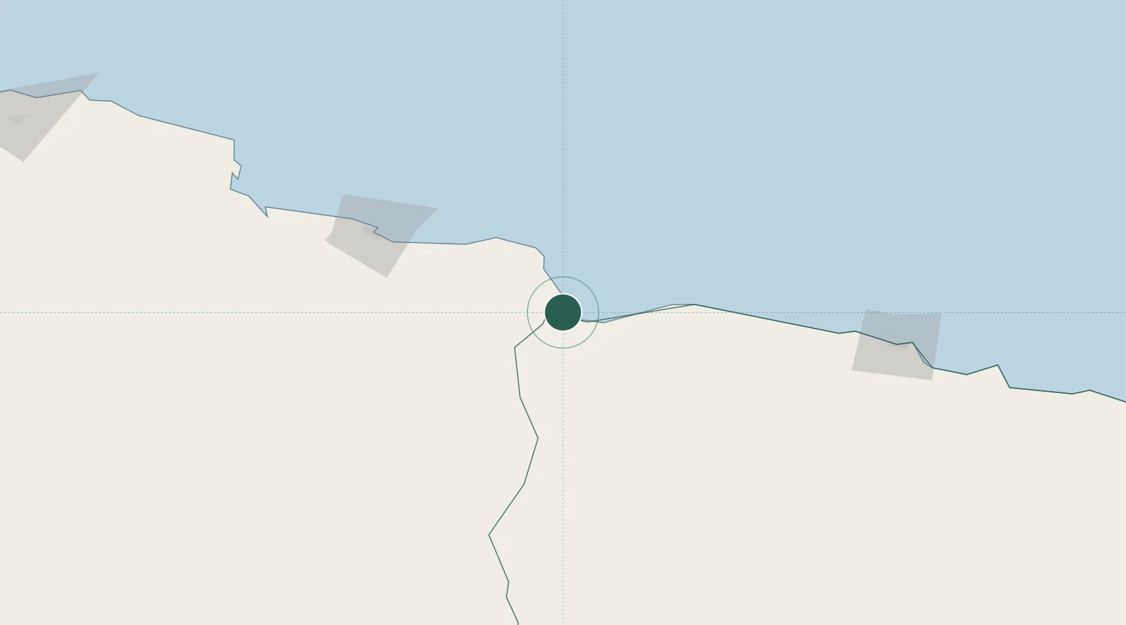
Location
Nearby Logistics Neighbours
Cities
- 1Bardiyah23 km
- 2Marsa El Hariga121 km
- 3Tobruk124 km
- 4Darnah272 km
- 5Polychnitos Lesvou297 km
Ports
- 1Mersa Tobruq124 km
- 2Mersa Matruh199 km
- 3Darnah271 km
- 4El Hamra Oil Terminal359 km
- 5Kali Limenes376 km
Airports
- 1Tobruk International Airport122 km
- 2Mersa Matruh International Airport198 km
- 3Bombah Airport215 km
- 4Siwa Oasis North Airport249 km
- 5El Alamein International Airport323 km
Trade Zones
- 1Tobruk Free Zone124 km
- 2New Alamein City Investment Zone367 km
- 3Free Zone of Heraklion404 km
- 4Alexandria Public Free Zone443 km
- 5Venus International Free Zone444 km
DatabookThe Record of Consolidated Knowledge
Egypt beyond logistics?