Small airport · Egypt
Siwa Oasis North AirportHESW
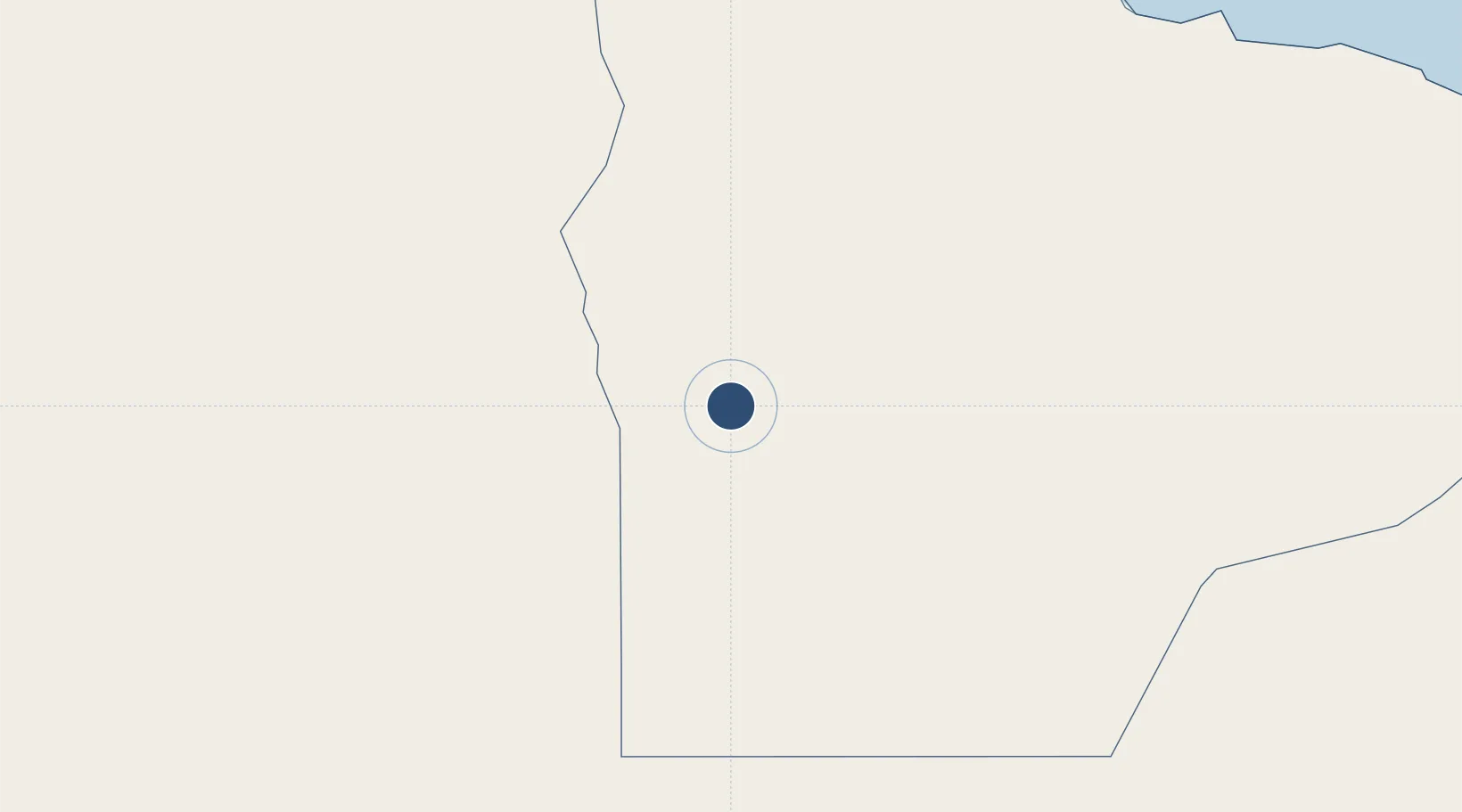
29.3462°, 25.5056°
5,905 ft
Longest runway
1
Runways
289 ft
Elevation
Runway & Layout

Runways · 1
| Runway | Dimensions | Surface | True heading | Lit |
|---|---|---|---|---|
| 16/34 | 5,905 × 147ft | Asphalt | 161° | — |
Airport Specifications
IATA code
SEW
ICAO code
HESW
Airport class
Small airport
Scheduled service
Yes
Runway surface
Asphalt
Served city
Siwa Oasis
Location
Nearby Logistics Neighbours
Airports
- 1Mersa Matruh International Airport275 km
- 2Tobruk International Airport319 km
- 3El Alamein International Airport334 km
- 4Bombah Airport414 km
- 5Alexandria International Airport440 km
Cities
- 1Sallum249 km
- 2Bardiyah272 km
- 3Marsa El Hariga333 km
- 4Tobruk337 km
- 5Porto Marina El Alamein372 km
Ports
- 1Mersa Matruh278 km
- 2Mersa Tobruq337 km
- 3El Hamra Oil Terminal371 km
- 4Sidi Kerir (Kurayr)443 km
- 5Al Iskandariyh (Alexandria)462 km
Trade Zones
- 1Tobruk Free Zone334 km
- 2Farafra City Investment Zone352 km
- 3New Alamein City Investment Zone369 km
- 4Alexandria Public Free Zone451 km
- 5Venus International Free Zone458 km
DatabookThe Record of Consolidated Knowledge
Egypt beyond logistics?