Large airport · Egypt
Mersa Matruh International AirportHEMM
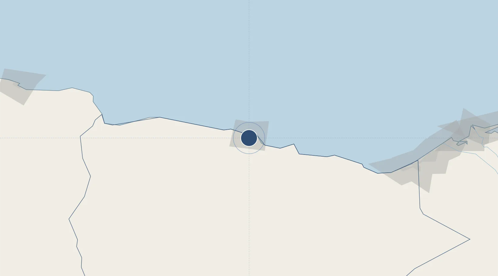
31.3243°, 27.2223°
9,843 ft
Longest runway
2
Runways
75 ft
Elevation
Runway & Layout

Radio Frequencies
TWR
118.1 MHz
MATRUH TWR
RDO
579 MHz
MATRUH RDO
Runways · 2
| Runway | Dimensions | Surface | True heading | Lit |
|---|---|---|---|---|
| 06/24 | 9,843 × 148ft | Asphalt | 060° | — |
| 15/33 | 9,843 × 148ft | Asphalt | 150° | — |
Airport Specifications
IATA code
MUH
ICAO code
HEMM
Airport class
Large airport
Scheduled service
Yes
Runway surface
Asphalt
Served city
Marsa Matruh
Location
Nearby Logistics Neighbours
Airports
- 1El Alamein International Airport126 km
- 2Alexandria International Airport240 km
- 3Siwa Oasis North Airport275 km
- 4Jiyanklis Air Base288 km
- 5Tobruk International Airport320 km
Cities
- 1Porto Marina El Alamein177 km
- 2Sallum198 km
- 3Bardiyah207 km
- 4Burj al Arab227 km
- 5El Iskandariya (Alexandria)253 km
Ports
- 1Mersa Matruh3 km
- 2El Hamra Oil Terminal161 km
- 3Sidi Kerir (Kurayr)235 km
- 4Al Iskandariyh (Alexandria)249 km
- 5Abu Qir271 km
Trade Zones
- 1New Alamein City Investment Zone169 km
- 2Alexandria Public Free Zone245 km
- 3Venus International Free Zone246 km
- 4Tobruk Free Zone319 km
- 5Shebin El-koom Public Free Zone370 km
DatabookThe Record of Consolidated Knowledge
Egypt beyond logistics?