Free Zone · Egypt

Alexandria Public Free Zone Active
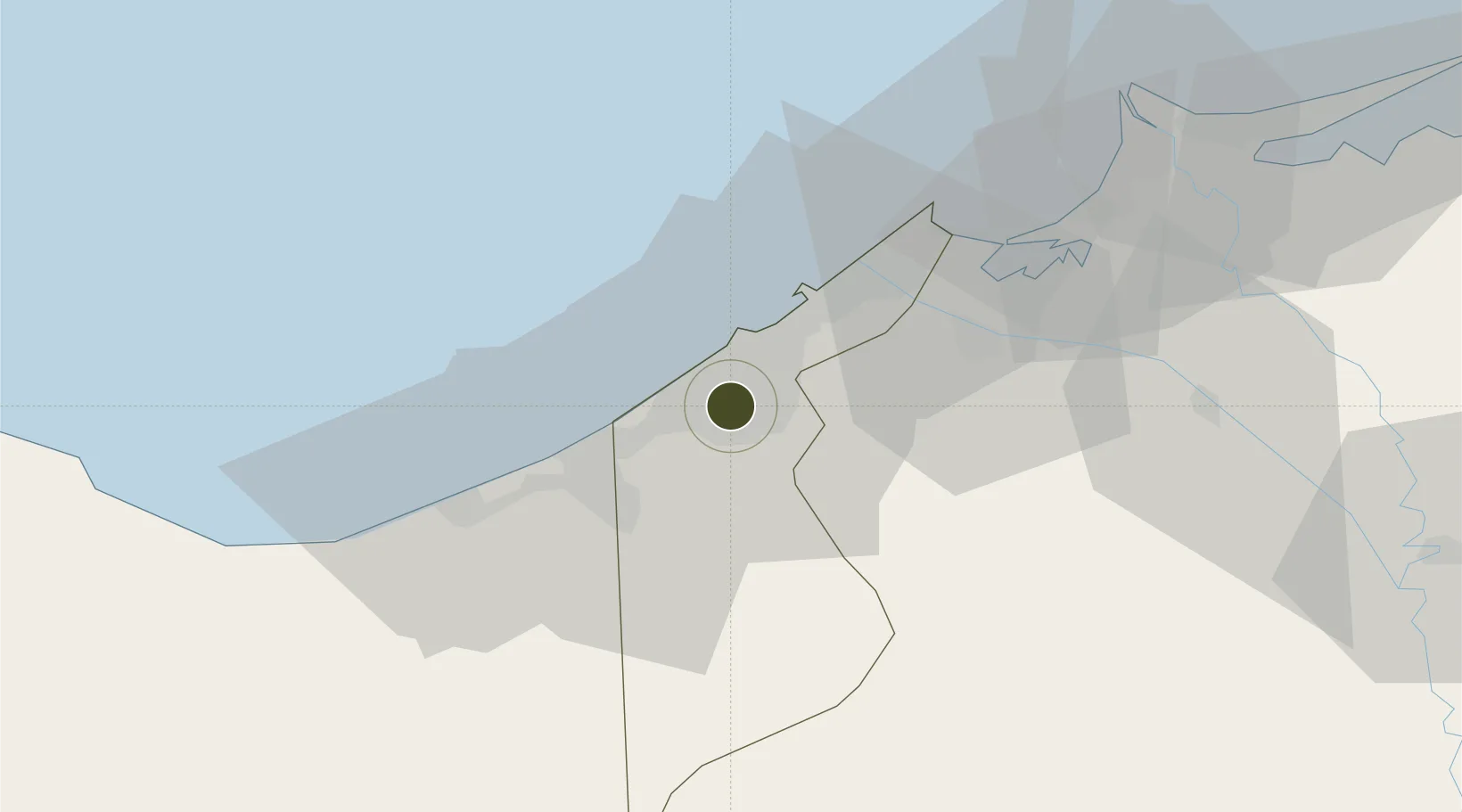
31.0327°, 29.7717°
570 ha
Zone area
10.0 km
Nearest port
13.3 km
Nearest airport

Gateway access

Nearest neighbours — logibook spatial index (haversine) over the source coordinates

Zone profile

Zone type
Free Zone
the World Bank SEZ database
Region
Al Iskandariyah
the World Bank SEZ database
Status
Active
the World Bank SEZ database
Established
1973
the World Bank SEZ database
Management
Public agency
the World Bank SEZ database
Operator
General Authority for Investment and Free Zones
the World Bank SEZ database
Regulatory authority
General Authority for Investment and Free Zones
the World Bank SEZ database
Legal framework
Investment Law No 8
the World Bank SEZ database

Location

Location of EGY1
Natural Earth 10m (public domain) · Al Iskandariyah · EGY1 · 31.03, 29.77GoogleOSMYandex

Fiscal & incentives

Corporate tax
23%
the World Bank SEZ database
Tax relief
Reduced fixed-rate at 1%
the World Bank SEZ database
Relief duration
Perpetual
the World Bank SEZ database
VAT
No exemption
the World Bank SEZ database
Import duty (inputs)
100% exempt
the World Bank SEZ database
Import duty (capex)
100% exempt
the World Bank SEZ database
Profit repatriation
100% exempt from profit transfer tax
the World Bank SEZ database
Capital gains
No exemption
the World Bank SEZ database
Withholding tax
No exemption
the World Bank SEZ database
Min. investment
None
the World Bank SEZ database
Min. export
50%
the World Bank SEZ database
Employment incentive
No exemption
the World Bank SEZ database
Developer incentive
No established framework
the World Bank SEZ database

Nearby Logistics Neighbours

Ports
  1. 1Sidi Kerir (Kurayr)10 km
  2. 2Al Iskandariyh (Alexandria)16 km
  3. 3Abu Qir44 km
  4. 4El Maadiya44 km
  5. 5El Hamra Oil Terminal86 km
Nearest neighbours — logibook spatial index (haversine) over the source coordinates
Airports
  1. 1Alexandria International Airport13 km
  2. 2Jiyanklis Air Base47 km
  3. 3Gebel El Basur Air Base93 km
  4. 4Birma Air Base113 km
  5. 5El Alamein International Airport126 km
Nearest neighbours — logibook spatial index (haversine) over the source coordinates
Cities
  1. 1El Iskandariya (Alexandria)18 km
  2. 2Burj al Arab26 km
  3. 3Abu Kir43 km
  4. 4Idku58 km
  5. 5El Beheirah66 km
Nearest neighbours — logibook spatial index (haversine) over the source coordinates
Trade Zones
  1. 1Venus International Free Zone12 km
  2. 2New Alamein City Investment Zone84 km
  3. 3Shebin El-koom Public Free Zone128 km
  4. 4Mit Ghamr Investment Zone148 km
  5. 5Banha Investment Zone150 km
Nearest neighbours — logibook spatial index (haversine) over the source coordinates
DatabookThe Record of Consolidated Knowledge
Egypt beyond logistics?
Browse databook

All Sources

Trade Zonesthe World Bank SEZ database
CC BY 4.0
Portsthe NGA World Port Index
Public domain (US gov)
AirportsOurAirports
Public domain
LocationsUN/LOCODE
UN/LOCODE — free
← Egypt trade zones