Export Processing Zone · Egypt

Venus International Free Zone Active
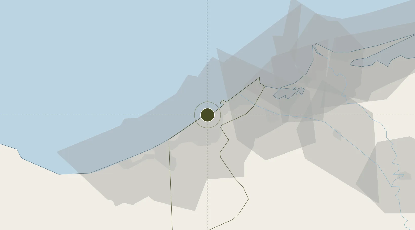
31.1363°, 29.7996°
6 ha
Zone area
4.7 km
Nearest port
24.7 km
Nearest airport

Gateway access

Nearest neighbours — logibook spatial index (haversine) over the source coordinates

Zone profile

Zone type
Export Processing Zone
Open Zone Map
Region
Al Iskandariyah
Open Zone Map
Status
Active
Open Zone Map
Management
Private
Open Zone Map
Operator
Venus International, Ltd.
Open Zone Map
Legal framework
Law No. 83 on Special Economic Zones
Open Zone Map

Location

Location of ozm-1870
Natural Earth 10m (public domain) · Al Iskandariyah · ozm-1870 · 31.14, 29.80GoogleOSMYandex

Nearby Logistics Neighbours

Ports
  1. 1Al Iskandariyh (Alexandria)5 km
  2. 2Sidi Kerir (Kurayr)15 km
  3. 3Abu Qir34 km
  4. 4El Maadiya36 km
  5. 5El Hamra Oil Terminal91 km
Nearest neighbours — logibook spatial index (haversine) over the source coordinates
Airports
  1. 1Alexandria International Airport25 km
  2. 2Jiyanklis Air Base51 km
  3. 3Gebel El Basur Air Base98 km
  4. 4Birma Air Base113 km
  5. 5El Alamein International Airport130 km
Nearest neighbours — logibook spatial index (haversine) over the source coordinates
Cities
  1. 1El Iskandariya (Alexandria)8 km
  2. 2Abu Kir33 km
  3. 3Burj al Arab35 km
  4. 4Idku51 km
  5. 5El Beheirah64 km
Nearest neighbours — logibook spatial index (haversine) over the source coordinates
Trade Zones
  1. 1Alexandria Public Free Zone12 km
  2. 2New Alamein City Investment Zone90 km
  3. 3Shebin El-koom Public Free Zone131 km
  4. 4Mit Ghamr Investment Zone149 km
  5. 5Banha Investment Zone153 km
Nearest neighbours — logibook spatial index (haversine) over the source coordinates
DatabookThe Record of Consolidated Knowledge
Egypt beyond logistics?
Browse databook

All Sources

Trade ZonesOpen Zone Map
CC BY
Portsthe NGA World Port Index
Public domain (US gov)
AirportsOurAirports
Public domain
LocationsUN/LOCODE
UN/LOCODE — free
← Egypt trade zones