UN/LOCODE hub · Côte d’Ivoire
CISPY
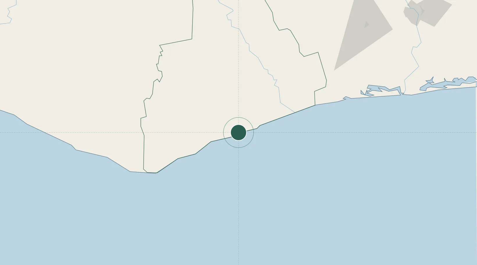
San-Pédro
4.7538°, -6.6265°
390,654
Population
3
Transport functions
1
Container terminals
Transport Functions
Port
Road
Airport
Hub Profile
Place type
Regional capital
Region
Bas-Sassandra District
Population
390,654
Time zone
Africa/Abidjan
Elevation
9 m
Logistics facilities
11
Container terminals
1
Location
Nearby Logistics Neighbours
Cities
- 1Fresco123 km
- 2Harper128 km
- 3Gbabam140 km
- 4Grand Lahou183 km
- 5Baobab Terminal231 km
Ports
- 1Cape Palmas128 km
- 2Baobab Marine Terminal231 km
- 3Espoir Marine Terminal243 km
- 4Greenville270 km
- 5Abidjan294 km
Airports
- 1San Pedro Airport4 km
- 2Daloa Airport227 km
- 3Greenville/Sinoe Airport272 km
- 4Yamoussoukro International Airport277 km
- 5Man Airport300 km
Trade Zones
- 1San Pedro Economic Zone4 km
- 2Yamoussoukro Industrial Park266 km
- 3PK 24 Industrial Park283 km
- 4Vridi Industrial Park296 km
- 5Koumassi Industrial Park303 km
DatabookThe Record of Consolidated Knowledge
Côte d’Ivoire beyond logistics?