UN/LOCODE hub · Japan
JPNZA

Inzai

35.8333°, 140.1500°
105,463
Population
1
Transport functions

Transport Functions

Multimodal
UN/LOCODE

Hub Profile

Place type
Provincial seat
GeoNames
Region
Chiba
GeoNames
Population
105,463
GeoNames
Time zone
Asia/Tokyo
GeoNames
Elevation
28 m
GeoNames

Location

Location of JPNZA
Natural Earth 10m (public domain) · Chiba · JPNZA · 35.83, 140.15GoogleOSMYandex

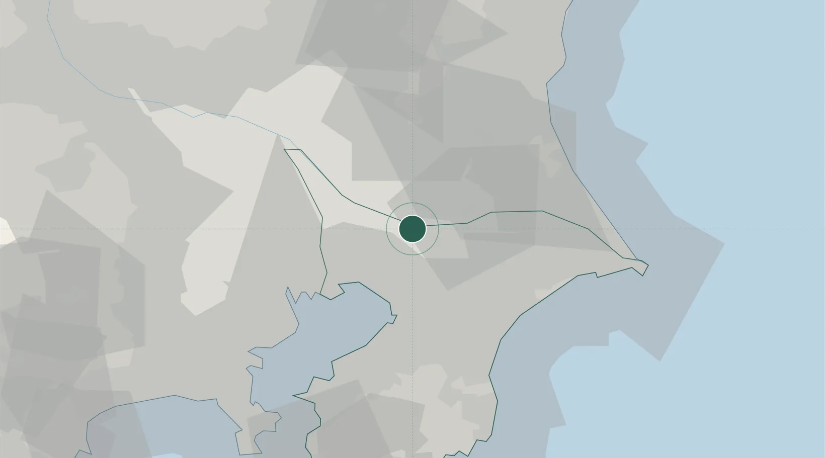
Nearby Logistics Neighbours

Cities
  1. 1Abiko11 km
  2. 2Yachiyo12 km
  3. 3Narita, Chiba16 km
  4. 4Shisui Chiba17 km
  5. 5Yotsukaido, Chiba20 km
Nearest neighbours — logibook spatial index (haversine) over the source coordinates
Ports
  1. 1Funabashi26 km
  2. 2Chiba Ko29 km
  3. 3Tokyo Ko41 km
  4. 4Kawasaki Ko51 km
  5. 5Kashima Ko51 km
Nearest neighbours — logibook spatial index (haversine) over the source coordinates
Airports
  1. 1JMSDF Shimofusa Air Base13 km
  2. 2Narita International Airport23 km
  3. 3Ibaraki International Airport45 km
  4. 4Tokyo Haneda International Airport46 km
  5. 5JGSDF Kisarazu Airfield53 km
Nearest neighbours — logibook spatial index (haversine) over the source coordinates
DatabookThe Record of Consolidated Knowledge
Japan beyond logistics?
Browse databook

All Sources

LocationsUN/LOCODE
UN/LOCODE — free
LocationsGeoNames
CC BY 4.0
Portsthe NGA World Port Index
Public domain (US gov)
AirportsOurAirports
Public domain
Trade Zonesthe World Bank SEZ database
CC BY 4.0
Trade ZonesOpen Zone Map
CC BY
← Japan locations