Diversified Zone · Japan
Awaji Environmental Future Island Special Zone Active
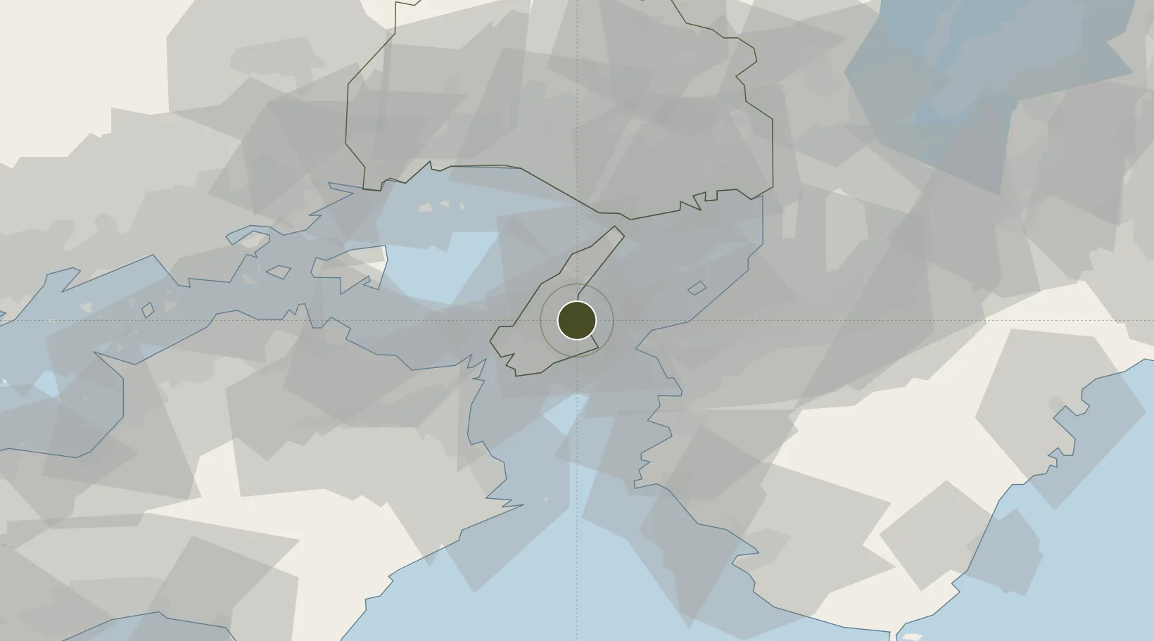
34.3456°, 134.8984°
592,000 ha
Zone area
27.0 km
Nearest port
33.0 km
Nearest airport
Gateway access
Zone profile
Zone type
Diversified Zone
Region
Hyōgo
Status
Active
Management
Public
Operator
Awajishima Kuniumi Association
Legal framework
3rd Evaluation Designation as General Special Zone
Location
Nearby Logistics Neighbours
Ports
- 1Wakayama-Shimotsu Ko27 km
- 2Higashi-Harima40 km
- 3Kakogawa40 km
- 4Kobe43 km
- 5Hannan Ko44 km
Airports
Trade Zones
- 1Rinku Town Izumisano City Area Regional Revitalization Comprehensive Special Zone37 km
- 2Tokushima life innovation Comprehensive Special Zone53 km
- 3Wakayama Prefecture "Takano Kumano" Cultural and Regional Promotion Comprehensive Special Zone65 km
- 4Kansai Innovation International Strategic Comprehensive Special Zone66 km
- 5Takamatsu Compact Eco-City Special Zone75 km
DatabookThe Record of Consolidated Knowledge
Japan beyond logistics?