Transport Functions
Rail
Road
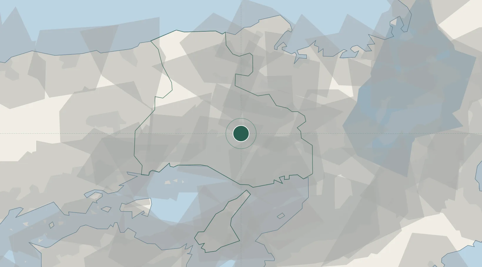
Hub Profile
Place type
Provincial seat
Region
Hyōgo
Population
38,673
Time zone
Asia/Tokyo
Elevation
57 m
Location
Nearby Logistics Neighbours
Ports
- 1Higashi-Harima34 km
- 2Kakogawa34 km
- 3Shikama38 km
- 4Hirohata39 km
- 5Himeji40 km
Airports
- 1Kobe Airport46 km
- 2Osaka Itami International Airport49 km
- 3Konotori Tajima Airport61 km
- 4Kansai International Airport67 km
- 5Yao Airport72 km
Trade Zones
- 1Yabu City Strategic Special Zone50 km
- 2Kansai Innovation International Strategic Comprehensive Special Zone58 km
- 3Awaji Environmental Future Island Special Zone71 km
- 4Rinku Town Izumisano City Area Regional Revitalization Comprehensive Special Zone72 km
- 5Kyoto City Regional Revitalization Comprehensive Special Zone76 km
DatabookThe Record of Consolidated Knowledge
Japan beyond logistics?