Economic Revitalization Project · Japan
Okayama-type Sustainable Socio-Economic Model Construction Comprehensive Special Zone Inactive
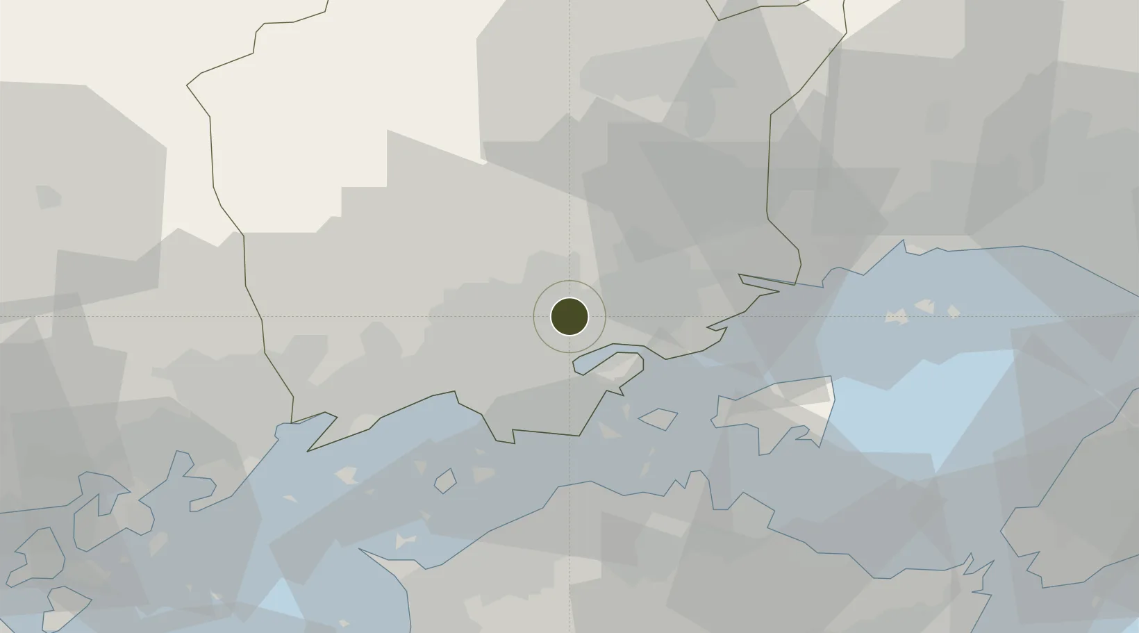
34.6553°, 133.9197°
23,000 ha
Zone area
19.3 km
Nearest port
12.8 km
Nearest airport
Gateway access
Zone profile
Zone type
Economic Revitalization Project
Region
Okayama
Status
Inactive
Management
Public
Operator
Okayama City Authority
Legal framework
Okoyama Prefecture Regional Activation Policy
Location
Nearby Logistics Neighbours
Ports
- 1Uno Ko19 km
- 2Hibi Ko23 km
- 3Mizushima Ko23 km
- 4Takamatsu36 km
- 5Sakaide Ko36 km
Airports
Cities
- 1Soja, Okayama16 km
- 2Mitsu Kanagawa16 km
- 3Setouchi17 km
- 4Bizen26 km
- 5Wake26 km
Trade Zones
- 1Hyper & Green Innovation Mizushima Complex General Special Zone25 km
- 2Takamatsu Compact Eco-City Special Zone38 km
- 3Kagawa Medical Welfare General Special Zone42 km
- 4Hiroshima Environmental Tourism Model Urban Development Promotion Special Zone60 km
- 5Tokushima life innovation Comprehensive Special Zone84 km
DatabookThe Record of Consolidated Knowledge
Japan beyond logistics?