Free Trade Zone · Jamaica

Spanish Town Free Zone Active
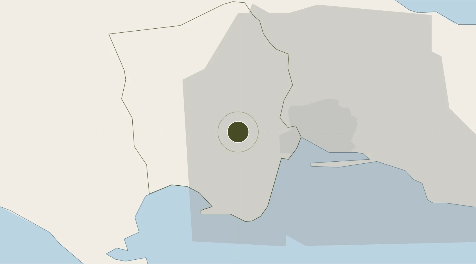
18.0015°, -76.9683°
17 ha
Zone area
19.9 km
Nearest port
15.4 km
Nearest airport

Gateway access

Nearest neighbours — logibook spatial index (haversine) over the source coordinates

Zone profile

Zone type
Free Trade Zone
Open Zone Map
Region
Saint Catherine
Open Zone Map
Status
Active
Open Zone Map
Management
Public-Private Partnership
Open Zone Map
Operator
Masada Jamaica Limited
Open Zone Map
Legal framework
Special Economic Zones Act (2016)
Open Zone Map

Location

Location of ozm-2550
Natural Earth 10m (public domain) · Saint Catherine · ozm-2550 · 18.00, -76.97GoogleOSMYandex

Nearby Logistics Neighbours

Ports
  1. 1Kingston20 km
  2. 2Port Esquivel22 km
  3. 3Rocky Point28 km
  4. 4Ocho Rios49 km
  5. 5Port Antonio58 km
Nearest neighbours — logibook spatial index (haversine) over the source coordinates
Airports
  1. 1Tinson Pen Airport15 km
  2. 2Norman Manley International Airport21 km
  3. 3Ian Fleming International Airport45 km
  4. 4Ken Jones Airport51 km
  5. 5Sangster International Airport114 km
Nearest neighbours — logibook spatial index (haversine) over the source coordinates
Cities
  1. 1Port Henderson11 km
  2. 2Kingston15 km
  3. 3Vineyard22 km
  4. 4Charles Town40 km
  5. 5Oracabessa44 km
Nearest neighbours — logibook spatial index (haversine) over the source coordinates
Trade Zones
  1. 1Portmore Informatics Park Free Zone10 km
  2. 2Caymanas Special Economic Zone10 km
  3. 3Kingston Free Zone14 km
  4. 4Kingston Wharves Terminal Special Economic Zone15 km
  5. 5Garmex Free Zone17 km
Nearest neighbours — logibook spatial index (haversine) over the source coordinates
DatabookThe Record of Consolidated Knowledge
Jamaica beyond logistics?
Browse databook

All Sources

Trade ZonesOpen Zone Map
CC BY
Portsthe NGA World Port Index
Public domain (US gov)
AirportsOurAirports
Public domain
LocationsUN/LOCODE
UN/LOCODE — free
← Jamaica trade zones