Transport Functions
Multimodal
Hub Profile
Place type
Populated place
Region
East Azerbaijan
Time zone
Asia/Tehran
Elevation
1,354 m
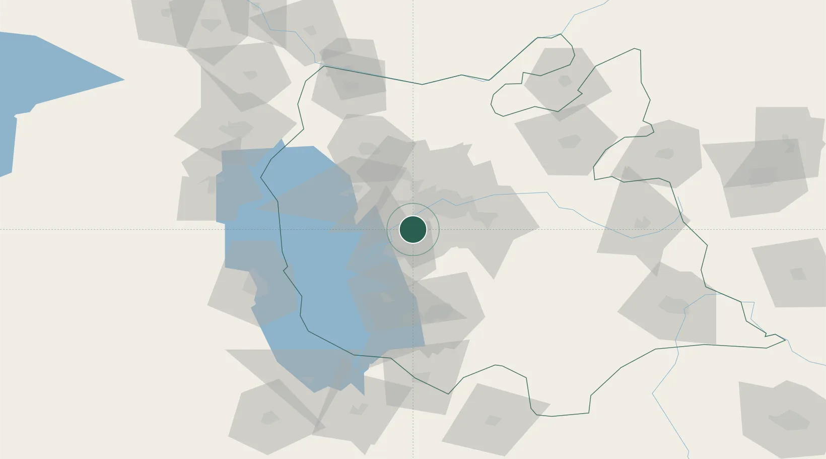
Location
Nearby Logistics Neighbours
Cities
- 1Jolfa115 km
- 2Kajaran136 km
- 3Naxcivan158 km
- 4Piran Shahr162 km
- 5Kapiköy167 km
Ports
- 1Hopa556 km
- 2Batumi560 km
- 3Rize590 km
- 4Supsa Marine Terminal593 km
- 5Trabzon640 km
Airports
- 1Tabriz International Airport27 km
- 2Urmia Airport93 km
- 3Nakhchivan International Airport149 km
- 4Hakkari Yüksekova Airport166 km
- 5Maku National Airport171 km
Trade Zones
DatabookThe Record of Consolidated Knowledge
Iran beyond logistics?