Diversified Zone · Iran

Semnan Special Economic Zone Under Development
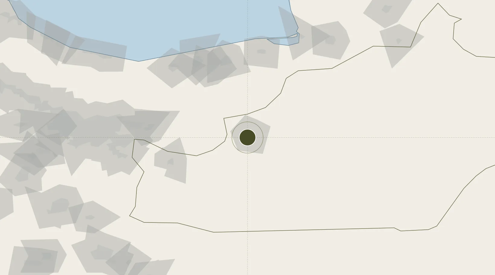
35.5777°, 53.3491°
2,000 ha
Zone area
688.2 km
Nearest port
13.3 km
Nearest airport

Gateway access

Nearest neighbours — logibook spatial index (haversine) over the source coordinates

Zone profile

Zone type
Diversified Zone
Open Zone Map
Region
Semnan
Open Zone Map
Status
Under Development
Open Zone Map
Management
Public
Open Zone Map
Operator
Semanan Industrial Estates Company
Open Zone Map
Legal framework
Law of Establishment and Administration of Special Economic Zones of Islamic Republic of Iran
Open Zone Map

Location

Location of ozm-2492
Natural Earth 10m (public domain) · Semnan · ozm-2492 · 35.58, 53.35GoogleOSMYandex

Nearby Logistics Neighbours

Ports
  1. 1Bandar-E Mahshahr688 km
  2. 2Bandar Khomeyni697 km
  3. 3Khorramshahr748 km
  4. 4Abadan750 km
  5. 5Kharg Island Oil Terminal760 km
Nearest neighbours — logibook spatial index (haversine) over the source coordinates
Airports
  1. 1Semnan Municipal Airport13 km
  2. 2Sari Dasht-e Naz International Airport120 km
  3. 3Gorgan Airport176 km
  4. 4Mehrabad International Airport184 km
  5. 5Imam Khomeini International Airport200 km
Nearest neighbours — logibook spatial index (haversine) over the source coordinates
Cities
  1. 1Amir Abad Pt105 km
  2. 2Bandar Amirabad134 km
  3. 3Neka140 km
  4. 4Freidoon Kenar144 km
  5. 5Bandar Neka144 km
Nearest neighbours — logibook spatial index (haversine) over the source coordinates
Trade Zones
  1. 1Garmsar Special Economic Zone108 km
  2. 2Damghan Special Economic Zone110 km
  3. 3Amirabad Port141 km
  4. 4Yazd Special Economic Zone177 km
  5. 5Mehran Special Economic Zone185 km
Nearest neighbours — logibook spatial index (haversine) over the source coordinates
DatabookThe Record of Consolidated Knowledge
Iran beyond logistics?
Browse databook

All Sources

Trade ZonesOpen Zone Map
CC BY
Portsthe NGA World Port Index
Public domain (US gov)
AirportsOurAirports
Public domain
LocationsUN/LOCODE
UN/LOCODE — free
← Iran trade zones