Transport Functions
Port
Road
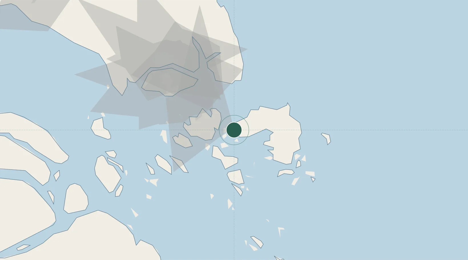
Location
Nearby Logistics Neighbours
Cities
- 1Lobam7 km
- 2Batam Island27 km
- 3Tanjungpinang28 km
- 4Batu Ampar29 km
- 5Sekupang35 km
Ports
- 1Tanjungpinang28 km
- 2Sekupang36 km
- 3Pulau Sambu39 km
- 4Kijang46 km
- 5Keppel - (East Singapore)50 km
Airports
DatabookThe Record of Consolidated Knowledge
Indonesia beyond logistics?